Medium airport · Algeria
In Salah AirportDAUI
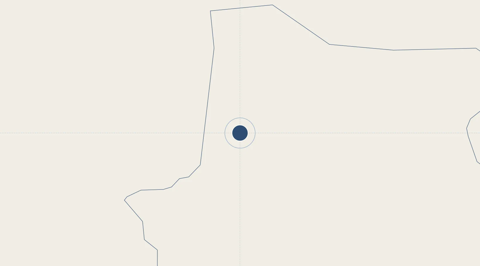
27.2510°, 2.5120°
9,843 ft
Longest runway
1
Runways
896 ft
Elevation
Runway & Layout

Radio Frequencies
TWR
118.1 MHz
RDO
889.4 MHz
Navaids
NSL VOR-DME In Salah 113.10 MHz
SAH NDB In Salah 373 kHz
Runways · 1
| Runway | Dimensions | Surface | True heading | Lit |
|---|---|---|---|---|
| 05/23 | 9,843 × 148ft | Asphalt | 051° | ✓ |
Airport Specifications
IATA code
INZ
ICAO code
DAUI
Airport class
Medium airport
Scheduled service
Yes
Runway surface
Asphalt
Served city
In Salah
Location
Nearby Logistics Neighbours
Airports
- 1Touat-Cheikh Sidi Mohamed Belkebir Airport274 km
- 2Amguid Regional Airport295 km
- 3Timimoun Airport311 km
- 4El Golea Airport372 km
- 5Aguenar – Hadj Bey Akhamok Airport576 km
Cities
- 1Rhourde Nouss439 km
- 2Ghardaïa592 km
- 3I-N-Amenas699 km
- 4Corinth887 km
- 5Nefta896 km
Ports
- 1Ghazaouet967 km
- 2Beni Saf968 km
- 3Oran986 km
- 4Mostaganem992 km
- 5Arzew993 km
Trade Zones
- 1Berkane Agro-Pole972 km
- 2Melilla Autonomous Community1033 km
- 3Fès Shore Industrial Park1036 km
- 4Nador WestMed Free Zone1039 km
- 5Meknès Agropolis1057 km
DatabookThe Record of Consolidated Knowledge
Algeria beyond logistics?