Transport Functions
Multimodal
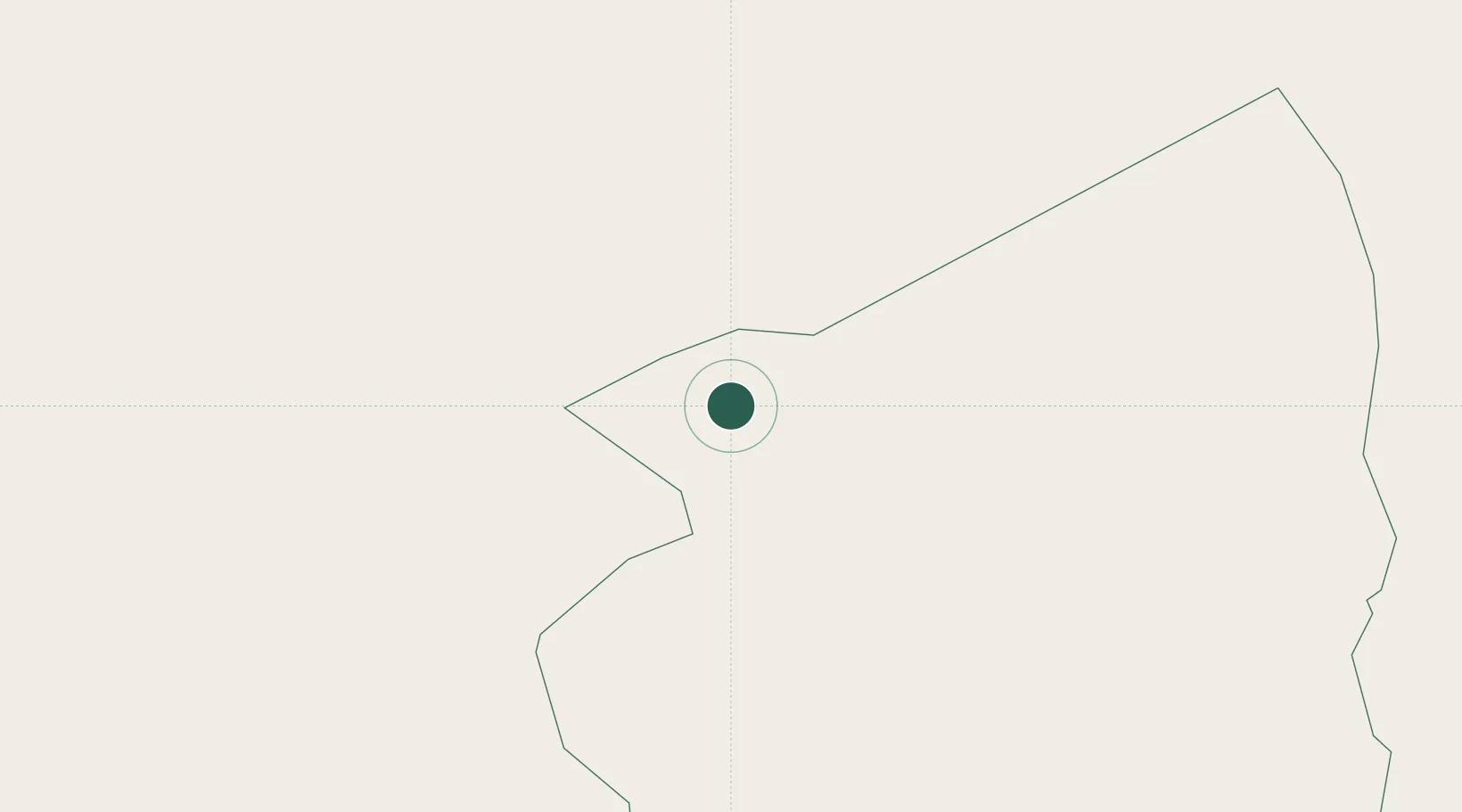
Location
Nearby Logistics Neighbours
Cities
- 1I-N-Amenas279 km
- 2Ghardaïa532 km
- 3Nefta606 km
- 4Kebili616 km
- 5Medenine647 km
Ports
- 1Gabes680 km
- 2Zarzis694 km
- 3Abu Khammash701 km
- 4Houmt Souk714 km
- 5Skhira717 km
Airports
- 1Illizi Takhamalt Airport270 km
- 2Amguid Regional Airport273 km
- 3Zarzaitine - In Aménas Airport288 km
- 4Ghadames Airport340 km
- 5Hassi Messaoud-Oued Irara Krim Belkacem Airport358 km
Trade Zones
- 1Taminhent Free Zone664 km
- 2Ben Guerdane Economic Free Zone690 km
- 3Zarzis Park of Economic Activities693 km
- 4Zwara-Abu-Kemmash Free Trade Zone706 km
- 5Misurata Free Zone916 km
DatabookThe Record of Consolidated Knowledge
Algeria beyond logistics?