Transport Functions
Port
Road
Airport
Hub Profile
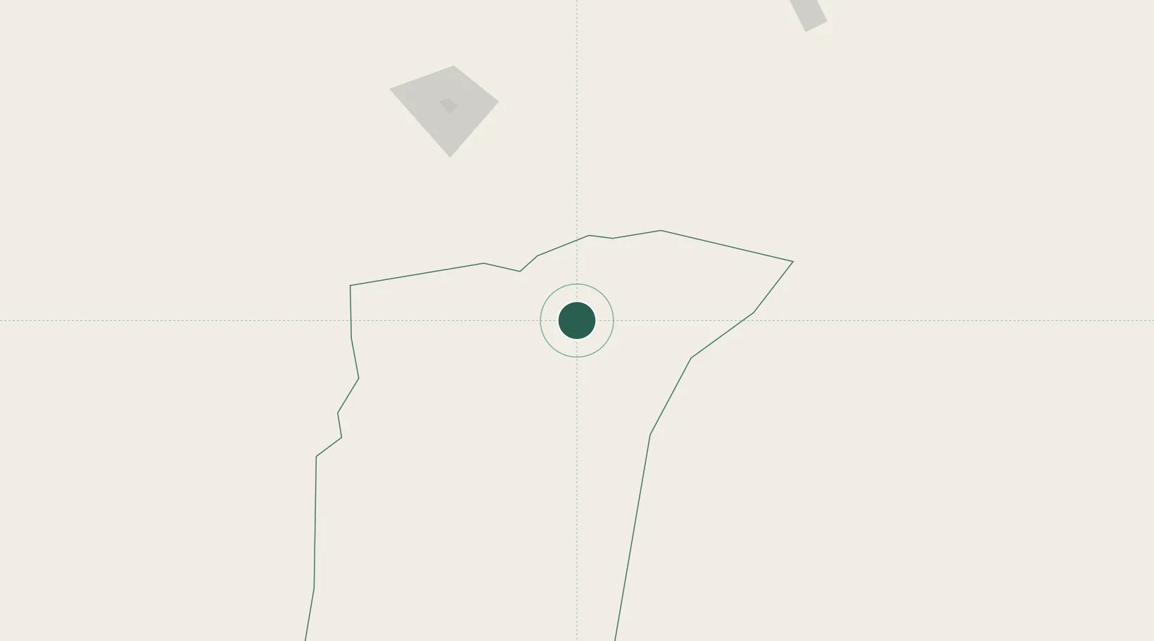
Place type
Regional capital
Region
Ghardaia
Population
142,913
Time zone
Africa/Algiers
Elevation
503 m
Location
Nearby Logistics Neighbours
Cities
- 1El Merdja396 km
- 2Bordj Bou Arreridj411 km
- 3Nefta420 km
- 4Guellal423 km
- 5Corinth436 km
Ports
- 1Alger479 km
- 2Bejaia492 km
- 3Dellys494 km
- 4Tenes499 km
- 5Mostaganem506 km
Airports
- 1Noumérat - Moufdi Zakaria Airport16 km
- 2Hassi R'Mel Airport60 km
- 3Laghouat - Molay Ahmed Medeghri Airport158 km
- 4Ain Beida Airport176 km
- 5El Golea Airport225 km
Trade Zones
- 1Berkane Agro-Pole619 km
- 2Melilla Autonomous Community685 km
- 3Nador WestMed Free Zone701 km
- 4Zarzis Park of Economic Activities703 km
- 5Ben Guerdane Economic Free Zone741 km
DatabookThe Record of Consolidated Knowledge
Algeria beyond logistics?