Medium airport · Algeria
El Golea AirportDAUE
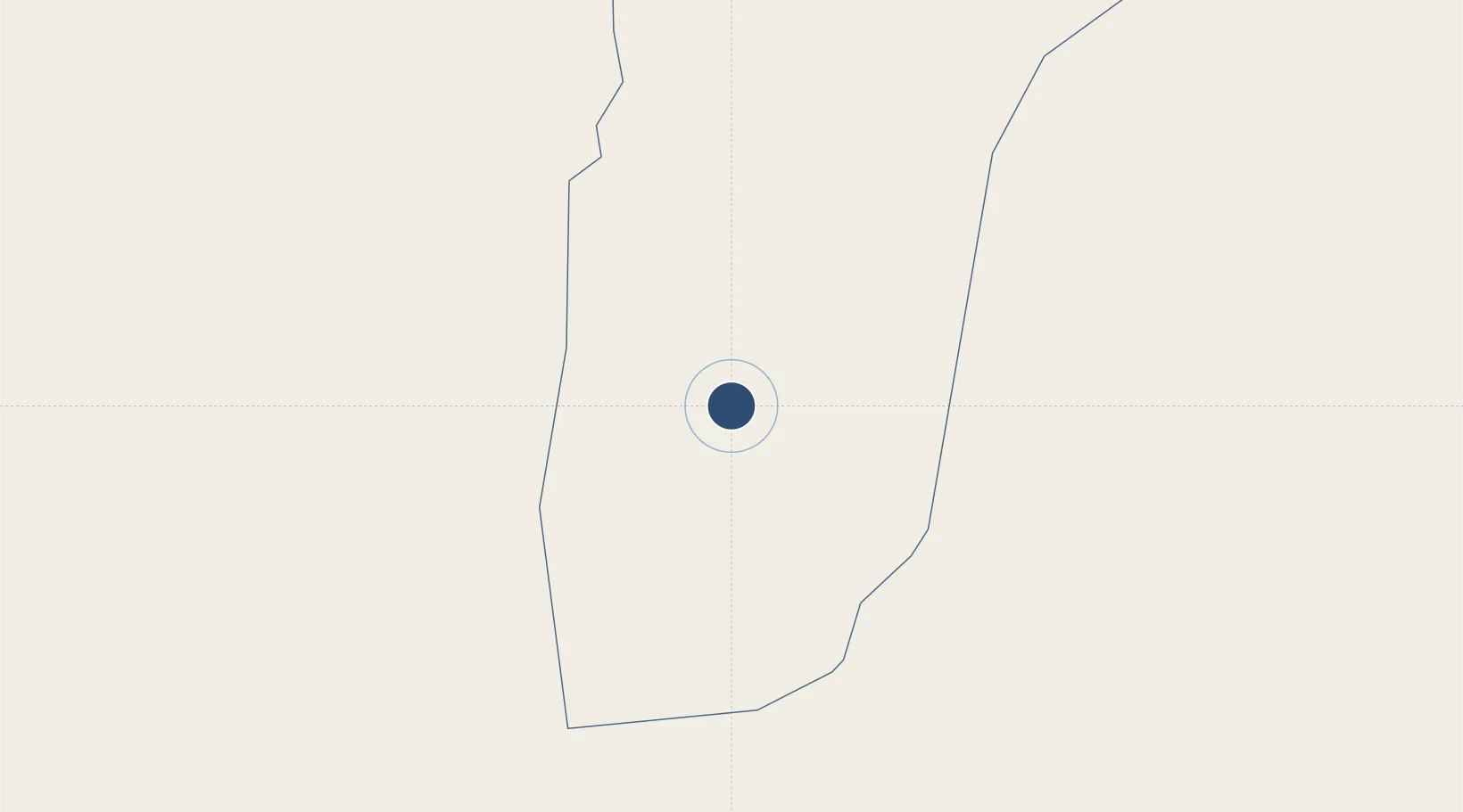
30.5807°, 2.8616°
9,843 ft
Longest runway
2
Runways
1,306 ft
Elevation
Runway & Layout

Radio Frequencies
TWR
119.7 MHz
RDO
889.4 MHz
Navaids
MEA NDB El Golea 375 kHz
MNA VOR-DME El Golea 112.10 MHz
Runways · 2
| Runway | Dimensions | Surface | True heading | Lit |
|---|---|---|---|---|
| 18/36 | 9,843 × 148ft | Asphalt | 180° | — |
| 10/28 | 5,906 × 148ft | Asphalt | 102° | — |
Airport Specifications
IATA code
ELG
ICAO code
DAUE
Airport class
Medium airport
Scheduled service
Yes
Runway surface
Asphalt
Served city
El Menia
Location
Nearby Logistics Neighbours
Airports
- 1Noumérat - Moufdi Zakaria Airport219 km
- 2Hassi R'Mel Airport265 km
- 3Ain Beida Airport284 km
- 4Timimoun Airport291 km
- 5Hassi Messaoud-Oued Irara Krim Belkacem Airport335 km
Cities
- 1Ghardaïa225 km
- 2Rhourde Nouss442 km
- 3Corinth553 km
- 4Nefta596 km
- 5Sidi Bel Abbes607 km
Ports
- 1Mostaganem649 km
- 2Arzew656 km
- 3Oran656 km
- 4Beni Saf657 km
- 5Ghazaouet669 km
Trade Zones
- 1Berkane Agro-Pole687 km
- 2Melilla Autonomous Community753 km
- 3Nador WestMed Free Zone765 km
- 4Ait Kamra Economic Activity Zone817 km
- 5Fès Shore Industrial Park828 km
DatabookThe Record of Consolidated Knowledge
Algeria beyond logistics?