Small airport · Canada

South Indian Lake AirportCZSN
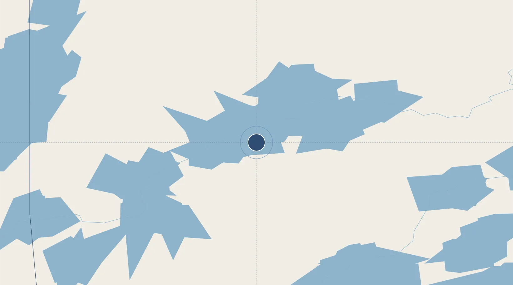
56.7928°, -98.9072°
3,509 ft
Longest runway
1
Runways
951 ft
Elevation

Runway & Layout

South Indian Lake Airport runway & taxiway layout
Runway & taxiway layout — OpenStreetMap (ODbL) / OurAirports

Navaids

2A NDB South Indian Lake 300 kHz
OurAirports

Runways · 1

RunwayDimensions SurfaceTrue headingLit
18/36 3,509 × 100ft CRUSHED ROCK
OurAirports

Airport Specifications

IATA code
XSI
OurAirports
ICAO code
CZSN
OurAirports
Airport class
Small airport
OurAirports
Scheduled service
Yes
OurAirports
Runway surface
CRUSHED ROCK
OurAirports
Served city
South Indian Lake
OurAirports

Location

Location of CZSN
Natural Earth 10m (public domain) · Manitoba · CZSN · 56.79, -98.91GoogleOSMYandex

Nearby Logistics Neighbours

Airports
  1. 1Leaf Rapids Airport73 km
  2. 2Thompson Airport128 km
  3. 3Lynn Lake Airport132 km
  4. 4Kelsey Airport170 km
  5. 5Pikwitonei Airport172 km
Nearest neighbours — logibook spatial index (haversine) over the source coordinates
Cities
  1. 1Split Lake182 km
  2. 2Churchill356 km
  3. 3Island Lake422 km
  4. 4Ballyhahil472 km
  5. 5Aylsham508 km
Nearest neighbours — logibook spatial index (haversine) over the source coordinates
Ports
  1. 1Churchill356 km
  2. 2Thunder Bay1137 km
  3. 3Grand Marais1161 km
  4. 4Two Harbors1194 km
  5. 5Duluth1208 km
Nearest neighbours — logibook spatial index (haversine) over the source coordinates
Trade Zones
  1. 1Winnipegs Centreport Canada776 km
  2. 2Global Transportation Hub Authority803 km
  3. 3Port Alberta - Edmonton FTZ978 km
  4. 4FTZ No. 103 Grand Forks994 km
  5. 5FTZ No. 259 Koochiching County996 km
Nearest neighbours — logibook spatial index (haversine) over the source coordinates
DatabookThe Record of Consolidated Knowledge
Canada beyond logistics?
Browse databook

All Sources

AirportsOurAirports
Public domain
Portsthe NGA World Port Index
Public domain (US gov)
LocationsUN/LOCODE
UN/LOCODE — free
Trade Zonesthe World Bank SEZ database
CC BY 4.0
Trade ZonesOpen Zone Map
CC BY
InfrastructureOpenStreetMap
ODbL 1.0
← Canada airports