Medium airport · Canada

Leaf Rapids AirportCYLR
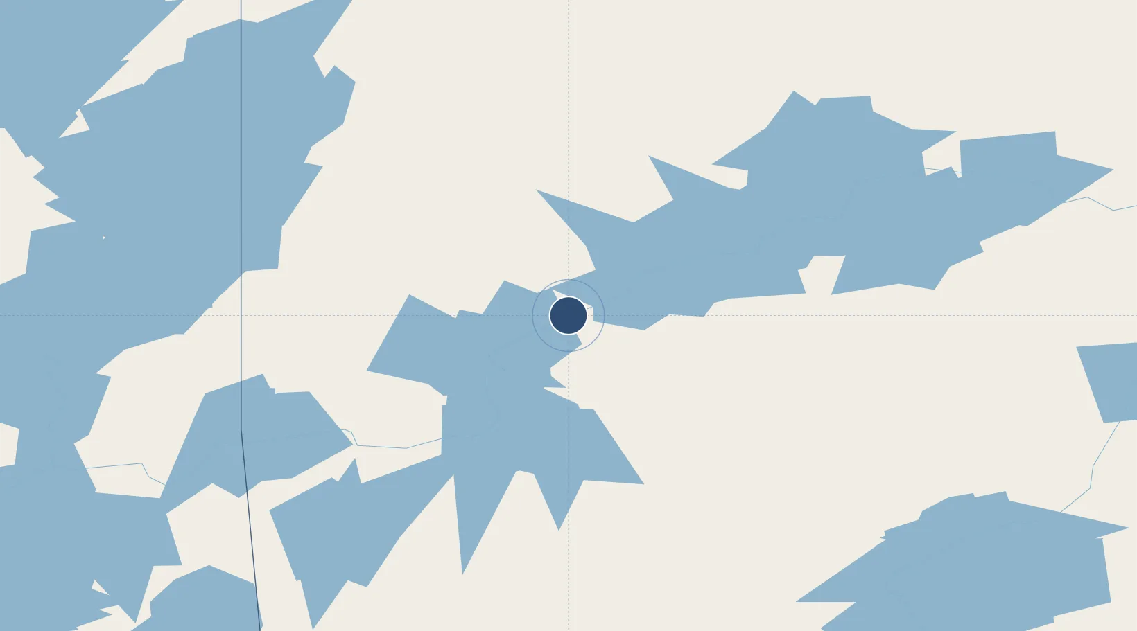
56.5133°, -99.9853°
3,000 ft
Longest runway
1
Runways
959 ft
Elevation

Runway & Layout

Leaf Rapids Airport runway & taxiway layout
Runway & taxiway layout — OpenStreetMap (ODbL) / OurAirports

Radio Frequencies

ATF
123.2 MHz
OurAirports

Navaids

5W NDB Leaf Rapids 226 kHz
OurAirports

Runways · 1

RunwayDimensions SurfaceTrue headingLit
18/36 3,000 × 75ft Asphalt 183°
OurAirports

Airport Specifications

IATA code
YLR
OurAirports
ICAO code
CYLR
OurAirports
Airport class
Medium airport
OurAirports
Scheduled service
No
OurAirports
Runway surface
Asphalt
OurAirports
Served city
Leaf Rapids
OurAirports

Location

Location of CYLR
Natural Earth 10m (public domain) · Manitoba · CYLR · 56.51, -99.99GoogleOSMYandex

Nearby Logistics Neighbours

Airports
  1. 1South Indian Lake Airport73 km
  2. 2Lynn Lake Airport77 km
  3. 3Pukatawagan Airport116 km
  4. 4Thompson Airport153 km
  5. 5Brochet Airport184 km
Nearest neighbours — logibook spatial index (haversine) over the source coordinates
Cities
  1. 1Split Lake241 km
  2. 2Churchill426 km
  3. 3Aylsham443 km
  4. 4Ballyhahil444 km
  5. 5Island Lake448 km
Nearest neighbours — logibook spatial index (haversine) over the source coordinates
Ports
  1. 1Churchill427 km
  2. 2Thunder Bay1157 km
  3. 3Grand Marais1174 km
  4. 4Two Harbors1200 km
  5. 5Duluth1211 km
Nearest neighbours — logibook spatial index (haversine) over the source coordinates
Trade Zones
  1. 1Global Transportation Hub Authority744 km
  2. 2Winnipegs Centreport Canada760 km
  3. 3Port Alberta - Edmonton FTZ906 km
  4. 4FTZ No. 103 Grand Forks975 km
  5. 5FTZ No. 259 Koochiching County993 km
Nearest neighbours — logibook spatial index (haversine) over the source coordinates
DatabookThe Record of Consolidated Knowledge
Canada beyond logistics?
Browse databook

All Sources

AirportsOurAirports
Public domain
Portsthe NGA World Port Index
Public domain (US gov)
LocationsUN/LOCODE
UN/LOCODE — free
Trade Zonesthe World Bank SEZ database
CC BY 4.0
Trade ZonesOpen Zone Map
CC BY
InfrastructureOpenStreetMap
ODbL 1.0
← Canada airports