Medium airport · Canada
Lynn Lake AirportCYYL
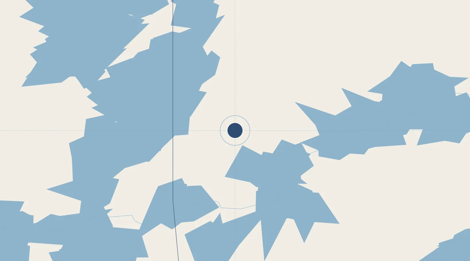
56.8639°, -101.0760°
5,000 ft
Longest runway
2
Runways
1,170 ft
Elevation
Runway & Layout

Radio Frequencies
A/G
122.3 MHz
MF WINNIPEG RDO
CNTR
135.05 MHz
WINNIPEG CNTR
RCO
123.475 MHz
WINNIPEG RDO
Navaids
YL NDB Lynn Lake 395 kHz
YYL VOR-DME Lynn Lake 112.60 MHz
Runways · 2
| Runway | Dimensions | Surface | True heading | Lit |
|---|---|---|---|---|
| 17/35 | 5,000 × 150ft | Asphalt | 180° | ✓ |
| 08/26 | 2,520 × 80ft | Gravel | 087° | — |
Airport Specifications
IATA code
YYL
ICAO code
CYYL
Airport class
Medium airport
Scheduled service
Yes
Runway surface
Asphalt
Served city
Lynn Lake
Location
Nearby Logistics Neighbours
Airports
- 1Leaf Rapids Airport77 km
- 2Brochet Airport120 km
- 3Pukatawagan Airport125 km
- 4South Indian Lake Airport132 km
- 5Wollaston Lake Airport187 km
Cities
- 1Split Lake312 km
- 2Aylsham445 km
- 3Zenon Park456 km
- 4Churchill460 km
- 5Star City491 km
Ports
- 1Churchill459 km
- 2Thunder Bay1231 km
- 3Grand Marais1246 km
- 4Two Harbors1269 km
- 5Duluth1279 km
Trade Zones
- 1Global Transportation Hub Authority753 km
- 2Winnipegs Centreport Canada817 km
- 3Port Alberta - Edmonton FTZ854 km
- 4FTZ No. 103 Grand Forks1029 km
- 5FTZ No. 259 Koochiching County1057 km
DatabookThe Record of Consolidated Knowledge
Canada beyond logistics?