Transport Functions
Rail
Road
Multimodal
Hub Profile
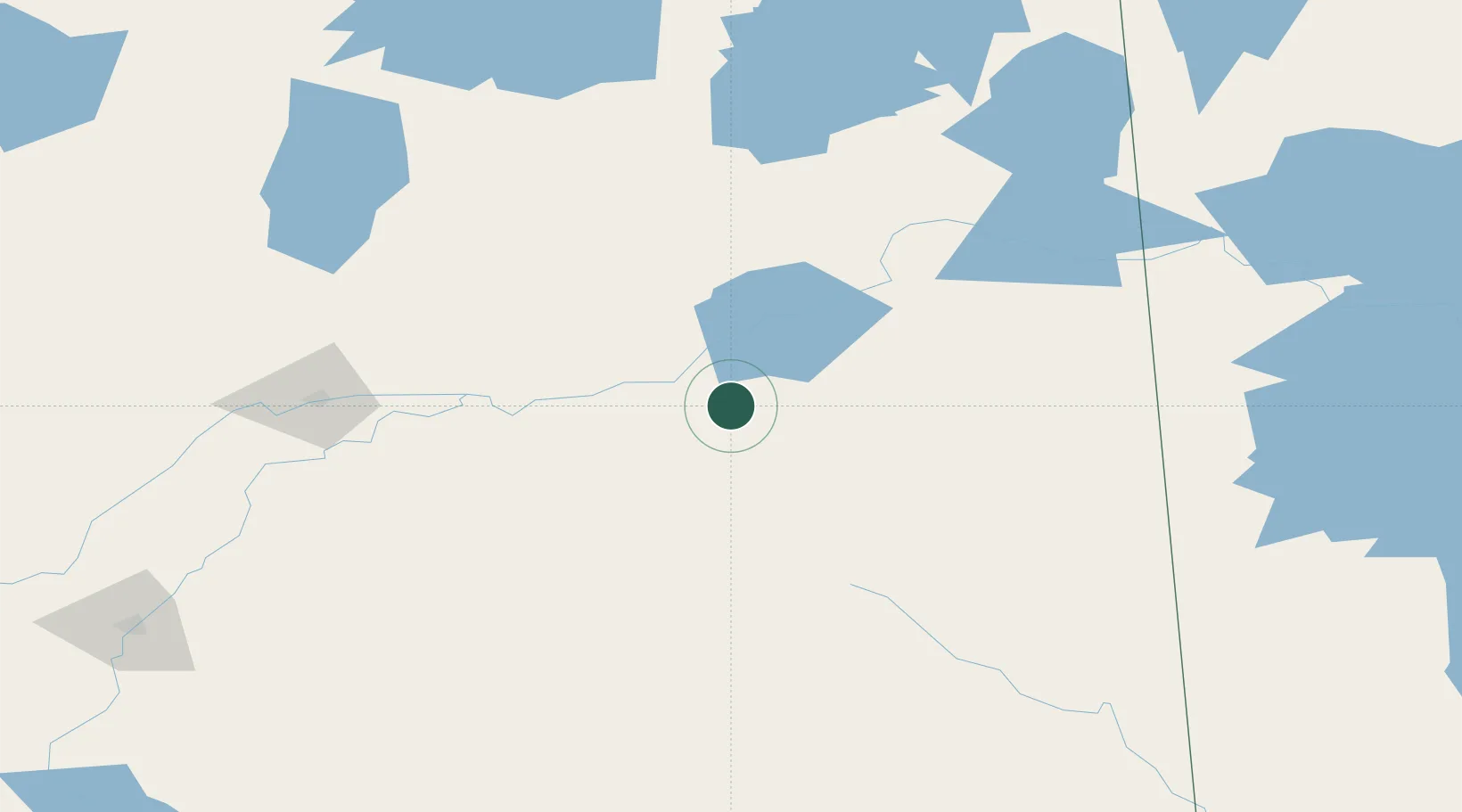
Place type
Populated place
Region
Saskatchewan
Time zone
America/Regina
Elevation
357 m
Location
Nearby Logistics Neighbours
Cities
- 1Zenon Park13 km
- 2Star City50 km
- 3Melfort65 km
- 4Porcupine Plain75 km
- 5Naicam99 km
Ports
- 1Churchill861 km
- 2Duluth1097 km
- 3Superior1102 km
- 4Two Harbors1103 km
- 5Grand Marais1126 km
Airports
- 1Nipawin Airport22 km
- 2Prince Albert Glass Field125 km
- 3The Pas Airport199 km
- 4Swan River Airport210 km
- 5Flin Flon Airport216 km
Trade Zones
- 1Global Transportation Hub Authority311 km
- 2Winnipegs Centreport Canada588 km
- 3Port Alberta - Edmonton FTZ633 km
- 4Calgary Region Inland Port739 km
- 5FTZ No. 103 Grand Forks749 km
DatabookThe Record of Consolidated Knowledge
Canada beyond logistics?