Medium airport · Canada
Thicket Portage AirportCZLQ
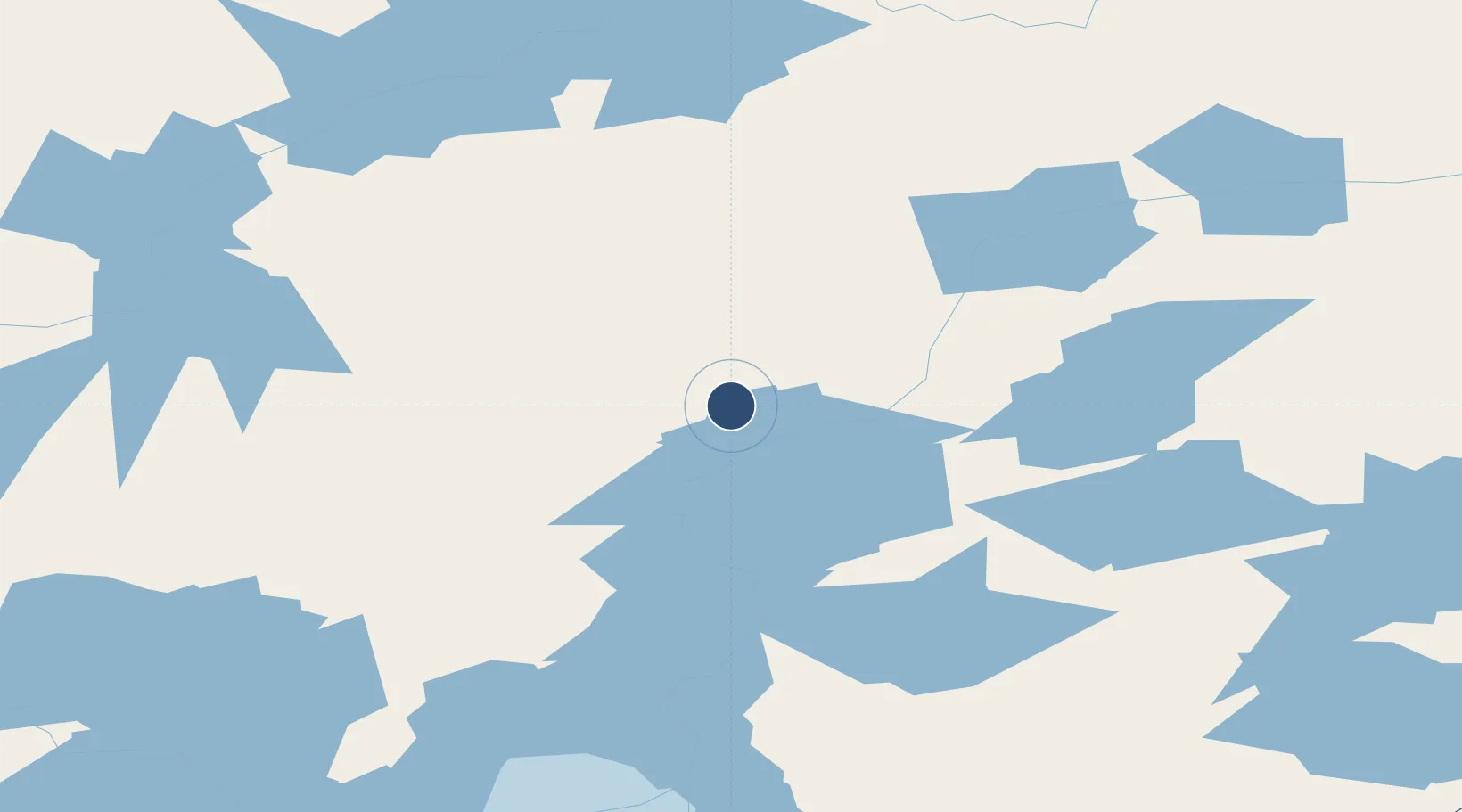
55.3189°, -97.7078°
2,220 ft
Longest runway
1
Runways
678 ft
Elevation
Runway & Layout

Runways · 1
| Runway | Dimensions | Surface | True heading | Lit |
|---|---|---|---|---|
| 12/30 | 2,220 × 75ft | CRUSHED ROCK | — | — |
Airport Specifications
IATA code
YTD
ICAO code
CZLQ
Airport class
Medium airport
Scheduled service
No
Runway surface
CRUSHED ROCK
Served city
Thicket Portage
Location
Nearby Logistics Neighbours
Airports
- 1Pikwitonei Airport46 km
- 2Thompson Airport55 km
- 3Cross Lake (Charlie Sinclair Memorial) Airport79 km
- 4Jenpeg Airport92 km
- 5Kelsey Airport110 km
Cities
- 1Split Lake144 km
- 2Island Lake254 km
- 3Ballyhahil323 km
- 4Pine River437 km
- 5Churchill439 km
Ports
- 1Churchill440 km
- 2Thunder Bay963 km
- 3Grand Marais983 km
- 4Two Harbors1014 km
- 5Duluth1028 km
Trade Zones
- 1Winnipegs Centreport Canada604 km
- 2Global Transportation Hub Authority718 km
- 3FTZ No. 259 Koochiching County817 km
- 4FTZ No. 103 Grand Forks824 km
- 5FTZ No. 267 Fargo943 km
DatabookThe Record of Consolidated Knowledge
Canada beyond logistics?