Small airport · Canada
Cross Lake (Charlie Sinclair Memorial) AirportCYCR
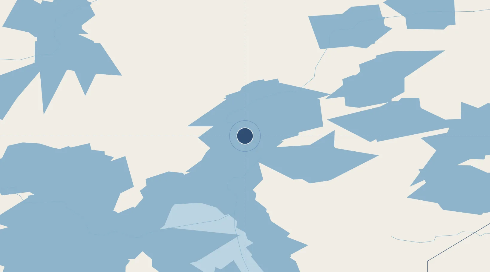
54.6098°, -97.7624°
3,990 ft
Longest runway
1
Runways
709 ft
Elevation
Runway & Layout

Navaids
4G NDB Cross Lake 353 kHz
Runways · 1
| Runway | Dimensions | Surface | True heading | Lit |
|---|---|---|---|---|
| 05/23 | 3,990 × 95ft | CRUSHED ROCK | — | — |
Airport Specifications
IATA code
YCR
ICAO code
CYCR
Airport class
Small airport
Scheduled service
Yes
Runway surface
CRUSHED ROCK
Served city
Cross Lake
Location
Nearby Logistics Neighbours
Airports
- 1Jenpeg Airport21 km
- 2Norway House Airport73 km
- 3Thicket Portage Airport79 km
- 4Pikwitonei Airport115 km
- 5Thompson Airport133 km
Cities
- 1Split Lake210 km
- 2Island Lake218 km
- 3Ballyhahil248 km
- 4Pine River366 km
- 5Riverton407 km
Ports
- 1Churchill512 km
- 2Thunder Bay907 km
- 3Grand Marais921 km
- 4Two Harbors946 km
- 5Duluth958 km
Trade Zones
- 1Winnipegs Centreport Canada526 km
- 2Global Transportation Hub Authority661 km
- 3FTZ No. 259 Koochiching County743 km
- 4FTZ No. 103 Grand Forks746 km
- 5FTZ No. 267 Fargo864 km
DatabookThe Record of Consolidated Knowledge
Canada beyond logistics?