Medium airport · Canada
Fort Resolution AirportCYFR
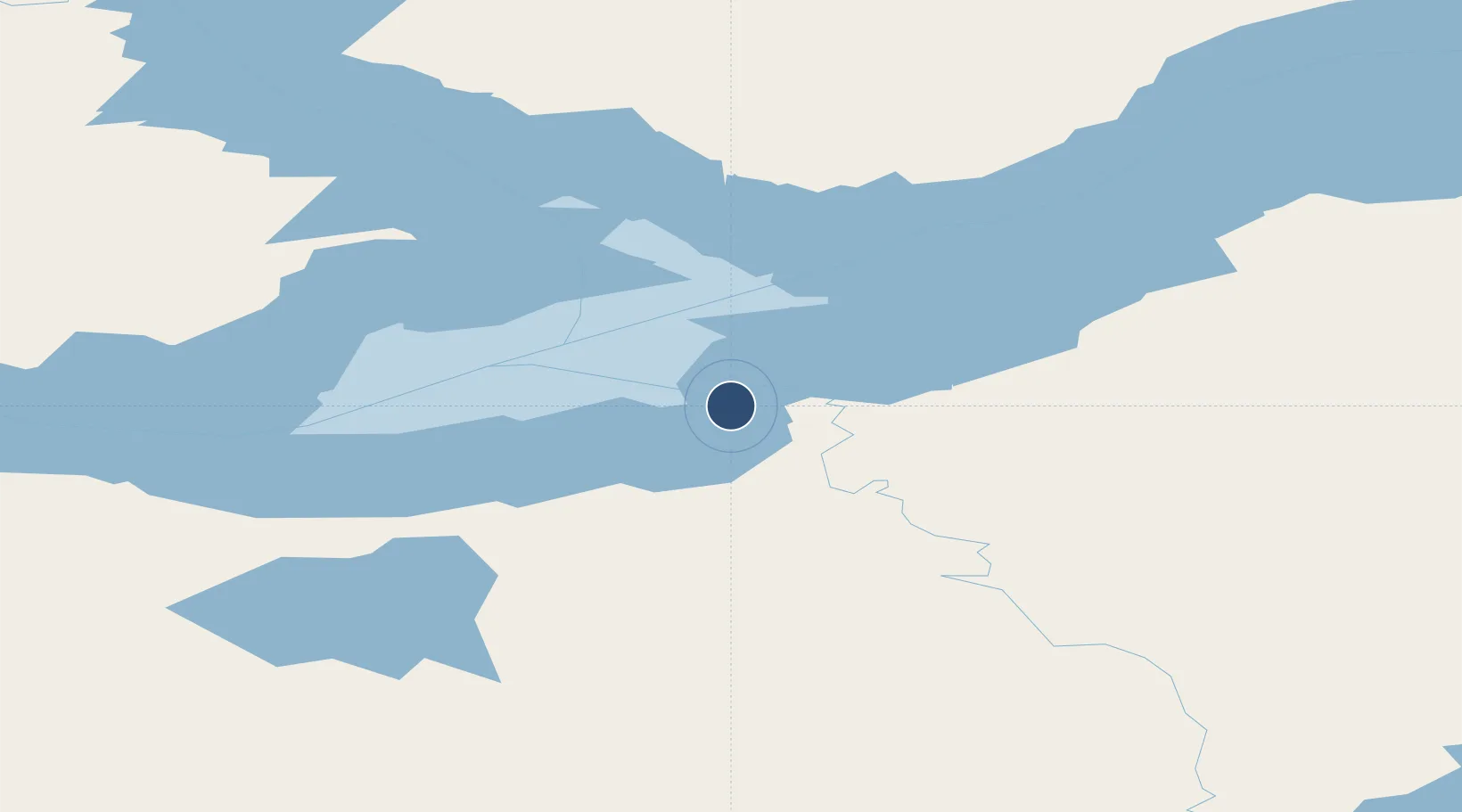
61.1808°, -113.6900°
4,001 ft
Longest runway
1
Runways
526 ft
Elevation
Runway & Layout

Radio Frequencies
ATF
122.1 MHz
MANDATORY FREQ
RDO
122.1 MHz
ARPT RDO
Navaids
FR NDB Fort Resolution 274 kHz
Runways · 1
| Runway | Dimensions | Surface | True heading | Lit |
|---|---|---|---|---|
| 13/31 | 4,001 × 98ft | Gravel | 143° | ✓ |
Airport Specifications
IATA code
YFR
ICAO code
CYFR
Airport class
Medium airport
Scheduled service
No
Runway surface
Gravel
Served city
Fort Resolution
Location
Nearby Logistics Neighbours
Airports
- 1Hay River / Merlyn Carter Airport119 km
- 2Yellowknife International Airport148 km
- 3Fort Smith Airport160 km
- 4Lutselk'e Airport210 km
- 5Whatì Airport285 km
Cities
- 1Kearl Lake417 km
- 2Fort MacKay460 km
- 3Anzac550 km
- 4Grimshaw598 km
- 5McLennan637 km
Ports
- 1Duncan Bay1430 km
- 2Port Mellon1434 km
- 3Mission City1442 km
- 4Port Moody1442 km
- 5Port Coquitlam1445 km
Trade Zones
- 1Port Alberta - Edmonton FTZ840 km
- 2PrInce George Logistics Park970 km
- 3Calgary Region Inland Port1127 km
- 4Global Transportation Hub Authority1315 km
- 5FTZ No. 242 Boundary County1396 km
DatabookThe Record of Consolidated Knowledge
Canada beyond logistics?