Transport Functions
Port
Rail
Road
Hub Profile
Place type
Populated place
Region
Alberta
Population
506
Time zone
America/Edmonton
Elevation
493 m
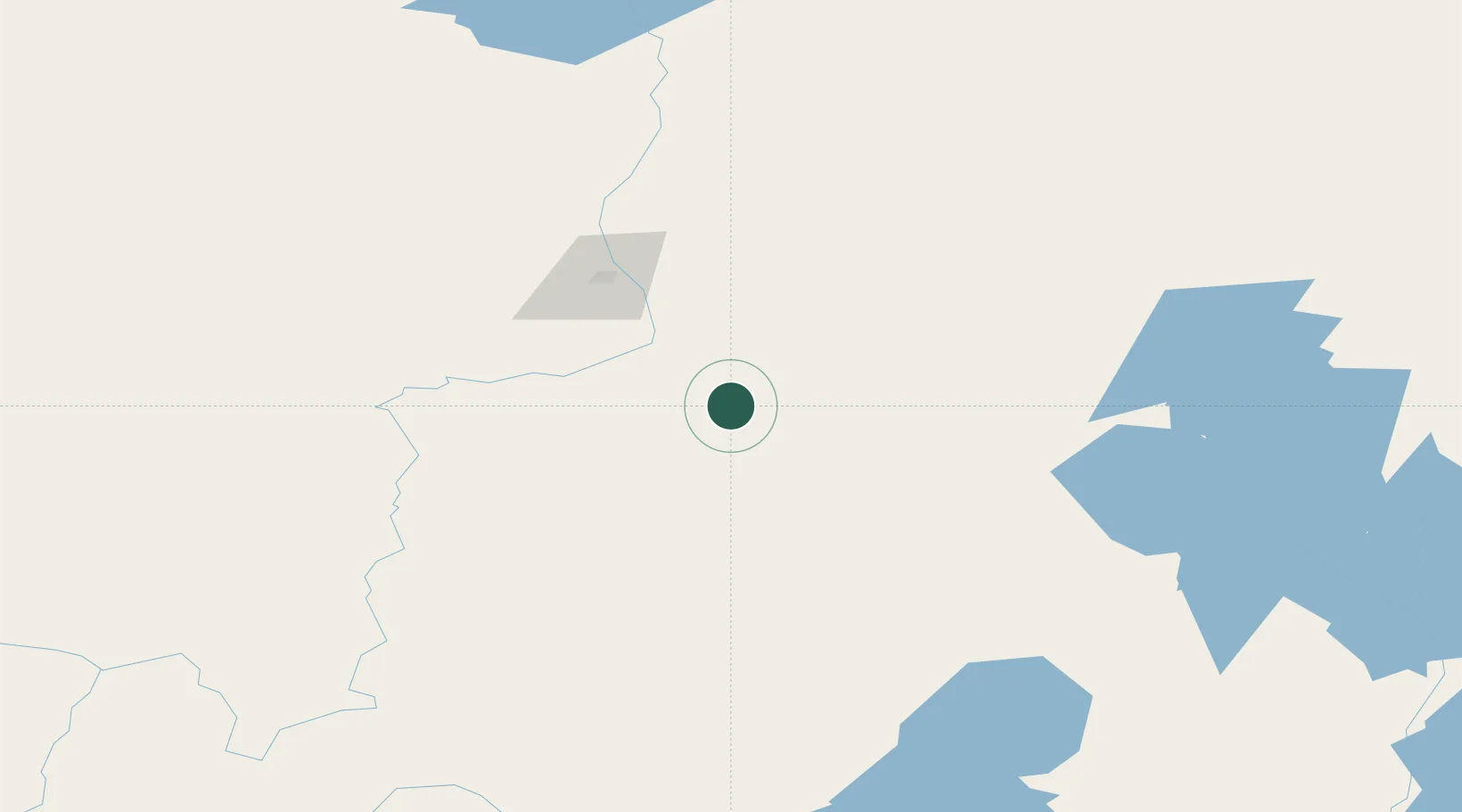
Location
Nearby Logistics Neighbours
Cities
- 1Fort MacKay91 km
- 2Kearl Lake134 km
- 3Lac La Biche194 km
- 4Glendon243 km
- 5Newbrook263 km
Ports
- 1Mission City1105 km
- 2Port Coquitlam1121 km
- 3Port Moody1122 km
- 4Fraser Mills1126 km
- 5New Westminster1131 km
Airports
- 1Fort McMurray International Airport27 km
- 2CFB Cold Lake231 km
- 3Bonnyville Airport238 km
- 4Fort Chipewyan Airport260 km
- 5Slave Lake Airport266 km
Trade Zones
- 1Port Alberta - Edmonton FTZ344 km
- 2Calgary Region Inland Port631 km
- 3Global Transportation Hub Authority784 km
- 4PrInce George Logistics Park794 km
- 5FTZ No. 187 Toole County874 km
DatabookThe Record of Consolidated Knowledge
Canada beyond logistics?