Small airport · Canada
Naujaat AirportCYUT
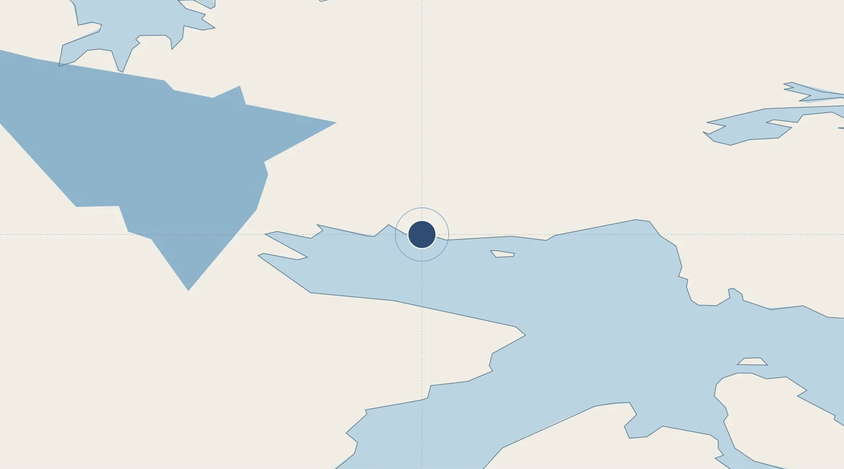
66.5210°, -86.2252°
3,400 ft
Longest runway
1
Runways
80 ft
Elevation
Runway & Layout

Radio Frequencies
ATF
122.1 MHz
MANDATORY FREQ
RDO
122.1 MHz
ARPT RDO
Navaids
YUT NDB Repulse Bay 335 kHz
Runways · 1
| Runway | Dimensions | Surface | True heading | Lit |
|---|---|---|---|---|
| 16T/34T | 3,400 × 100ft | Gravel | 161° | ✓ |
Airport Specifications
IATA code
YUT
ICAO code
CYUT
Airport class
Small airport
Scheduled service
Yes
Runway surface
Gravel
Served city
Repulse Bay
Location
Nearby Logistics Neighbours
Airports
- 1Kugaaruk Airport271 km
- 2Coral Harbour Airport291 km
- 3Hall Beach Airport327 km
- 4Igloolik Airport366 km
- 5Chesterfield Inlet Airport412 km
Cities
- 1Coral Harbour301 km
- 2Igloolik366 km
- 3Chesterfield Inlet412 km
- 4Gjoa Haven469 km
- 5Rankin Inlet496 km
Ports
- 1Deception Bay736 km
- 2Pond Inlet782 km
- 3Churchill950 km
- 4Pituffik (Thule Air Base)1259 km
- 5Heron Bay1987 km
Trade Zones
- 1Winnipegs Centreport Canada1949 km
- 2Global Transportation Hub Authority2069 km
- 3FTZ No. 259 Koochiching County2082 km
- 4FTZ No. 103 Grand Forks2164 km
- 5FTZ No. 051 Duluth2225 km
DatabookThe Record of Consolidated Knowledge
Canada beyond logistics?