Small airport · Canada
Chesterfield Inlet AirportCYCS
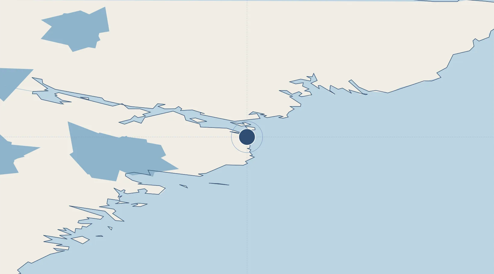
63.3469°, -90.7311°
3,600 ft
Longest runway
1
Runways
32 ft
Elevation
Runway & Layout

Navaids
YCS NDB Chesterfield Inlet 341 kHz
Runways · 1
| Runway | Dimensions | Surface | True heading | Lit |
|---|---|---|---|---|
| 12T/30T | 3,600 × —ft | Unknown | — | — |
Airport Specifications
IATA code
YCS
ICAO code
CYCS
Airport class
Small airport
Scheduled service
Yes
Runway surface
Unknown
Served city
Chesterfield Inlet
Location
Nearby Logistics Neighbours
Airports
- 1Rankin Inlet Airport92 km
- 2Whale Cove Airport155 km
- 3Baker Lake Airport283 km
- 4Arviat Airport304 km
- 5Coral Harbour Airport374 km
Cities
- 1Chesterfield Inlet2 km
- 2Rankin Inlet89 km
- 3Whale Cove162 km
- 4Baker Lake281 km
- 5Arviat303 km
Ports
- 1Churchill541 km
- 2Deception Bay826 km
- 3Pond Inlet1190 km
- 4Heron Bay1656 km
- 5Thunder Bay1665 km
Trade Zones
- 1Winnipegs Centreport Canada1544 km
- 2Global Transportation Hub Authority1660 km
- 3FTZ No. 259 Koochiching County1690 km
- 4FTZ No. 103 Grand Forks1761 km
- 5FTZ No. 051 Duluth1846 km
DatabookThe Record of Consolidated Knowledge
Canada beyond logistics?