Small airport · Canada
Igloolik AirportCYGT
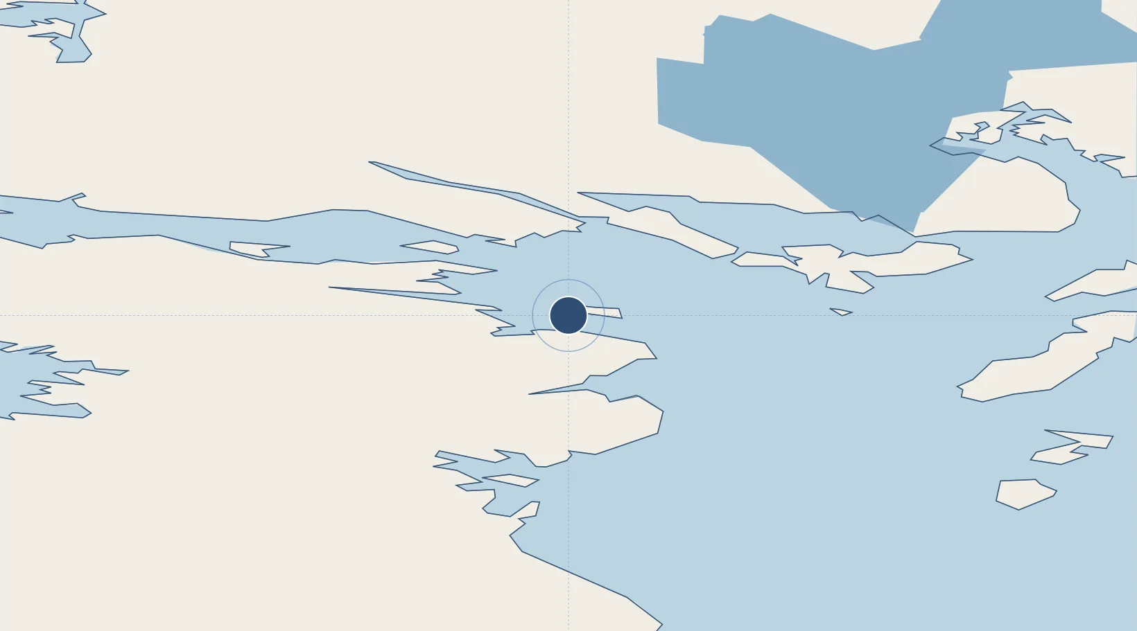
69.3647°, -81.8161°
4,095 ft
Longest runway
1
Runways
174 ft
Elevation
Runway & Layout

Runways · 1
| Runway | Dimensions | Surface | True heading | Lit |
|---|---|---|---|---|
| 15T/33T | 4,095 × 100ft | GRAVEL | — | — |
Airport Specifications
IATA code
YGT
ICAO code
CYGT
Airport class
Small airport
Scheduled service
Yes
Runway surface
GRAVEL
Served city
Igloolik
Location
Nearby Logistics Neighbours
Airports
- 1Hall Beach Airport69 km
- 2Kugaaruk Airport332 km
- 3Naujaat Airport366 km
- 4Pond Inlet Airport395 km
- 5Arctic Bay Airport421 km
Cities
- 1Igloolik0 km
- 2Milne Inlet Port282 km
- 3Arctic Bay425 km
- 4Gjoa Haven564 km
- 5Coral Harbour585 km
Ports
- 1Pond Inlet418 km
- 2Pangnirtung763 km
- 3Deception Bay865 km
- 4Pituffik (Thule Air Base)897 km
- 5Churchill1316 km
Trade Zones
- 1Winnipegs Centreport Canada2314 km
- 2Global Transportation Hub Authority2428 km
- 3FTZ No. 259 Koochiching County2441 km
- 4FTZ No. 103 Grand Forks2528 km
- 5FTZ No. 016 Sault Ste. Marie2548 km
DatabookThe Record of Consolidated Knowledge
Canada beyond logistics?