Transport Functions
Port
Airport
Hub Profile
Place type
Locality
Region
Nunavut
Population
1,349
Time zone
America/Cambridge_Bay
Elevation
1 m
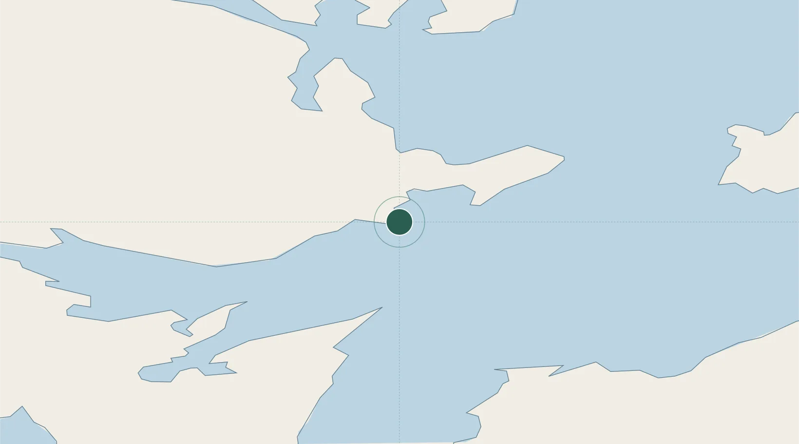
Location
Nearby Logistics Neighbours
Cities
- 1Cambridge Bay375 km
- 2Baker Lake478 km
- 3Igloolik564 km
- 4Arctic Bay625 km
- 5Chesterfield Inlet631 km
Ports
- 1Pond Inlet833 km
- 2Churchill1096 km
- 3Deception Bay1205 km
- 4Thunder Bay2277 km
- 5Heron Bay2281 km
Airports
- 1Gjoa Haven Airport2 km
- 2Taloyoak Airport137 km
- 3Kugaaruk Airport245 km
- 4Cambridge Bay Airport377 km
- 5Naujaat Airport469 km
Trade Zones
- 1Port Alberta - Edmonton FTZ1897 km
- 2Global Transportation Hub Authority2077 km
- 3Winnipegs Centreport Canada2083 km
- 4Calgary Region Inland Port2183 km
- 5FTZ No. 259 Koochiching County2263 km
DatabookThe Record of Consolidated Knowledge
Canada beyond logistics?