Small airport · Canada
Kugaaruk AirportCYBB
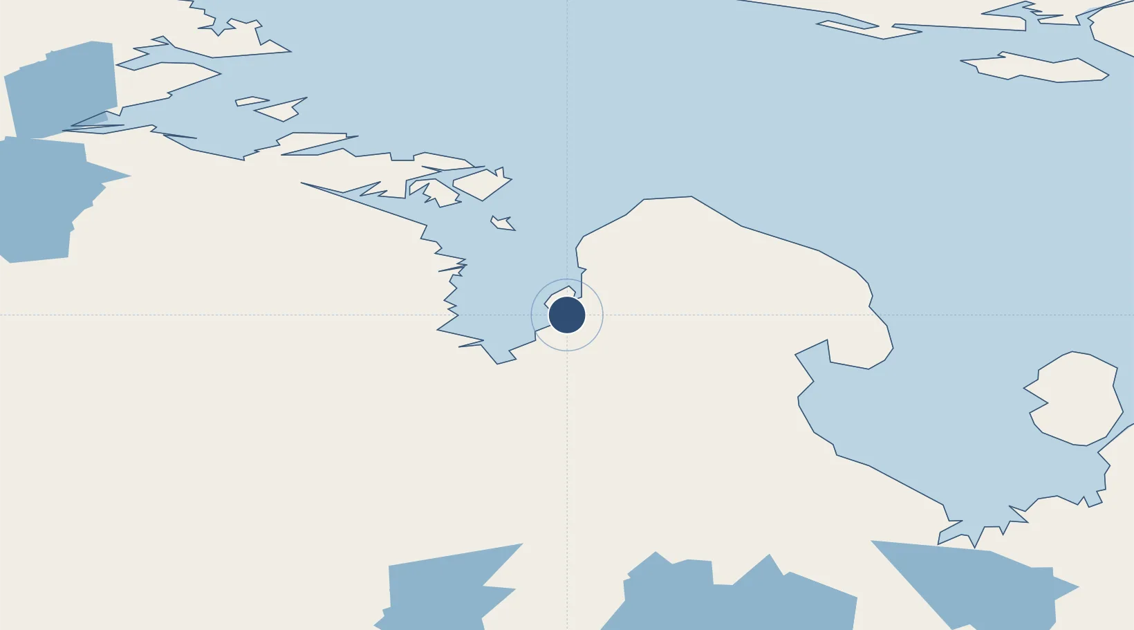
68.5357°, -89.8055°
5,000 ft
Longest runway
1
Runways
56 ft
Elevation
Runway & Layout

Radio Frequencies
ATF
122.1 MHz
MANDATORY FREQ
RDO
122.1 MHz
ARPT RDO
Runways · 1
| Runway | Dimensions | Surface | True heading | Lit |
|---|---|---|---|---|
| 05/23 | 5,000 × 100ft | Gravel | 049° | ✓ |
Airport Specifications
IATA code
YBB
ICAO code
CYBB
Airport class
Small airport
Scheduled service
Yes
Runway surface
Gravel
Served city
Kugaaruk
Location
Nearby Logistics Neighbours
Airports
- 1Taloyoak Airport187 km
- 2Gjoa Haven Airport246 km
- 3Naujaat Airport271 km
- 4Igloolik Airport332 km
- 5Hall Beach Airport347 km
Cities
- 1Gjoa Haven245 km
- 2Igloolik332 km
- 3Milne Inlet Port500 km
- 4Arctic Bay528 km
- 5Baker Lake544 km
Ports
- 1Pond Inlet669 km
- 2Deception Bay993 km
- 3Churchill1105 km
- 4Pituffik (Thule Air Base)1118 km
- 5Heron Bay2220 km
Trade Zones
- 1Port Alberta - Edmonton FTZ2057 km
- 2Winnipegs Centreport Canada2111 km
- 3Global Transportation Hub Authority2167 km
- 4FTZ No. 259 Koochiching County2266 km
- 5FTZ No. 103 Grand Forks2329 km
DatabookThe Record of Consolidated Knowledge
Canada beyond logistics?