Channel & Berth Profile
Pilotage, Tugs & Services
Potable waterYES
Diesel bunkersYES
Facilities & Capabilities
Container—
Ro-Ro—
Liquid bulk—
Dry bulkYES
Oil terminal—
Break bulk—
Dry dock—
Repairs—
BunkeringYES
Rail link—
Dangerous cargo—
ISPS securityYES
Harbour Specifications
Water body
Hudson Strait; Arctic Ocean
Tidal range
5.5 m
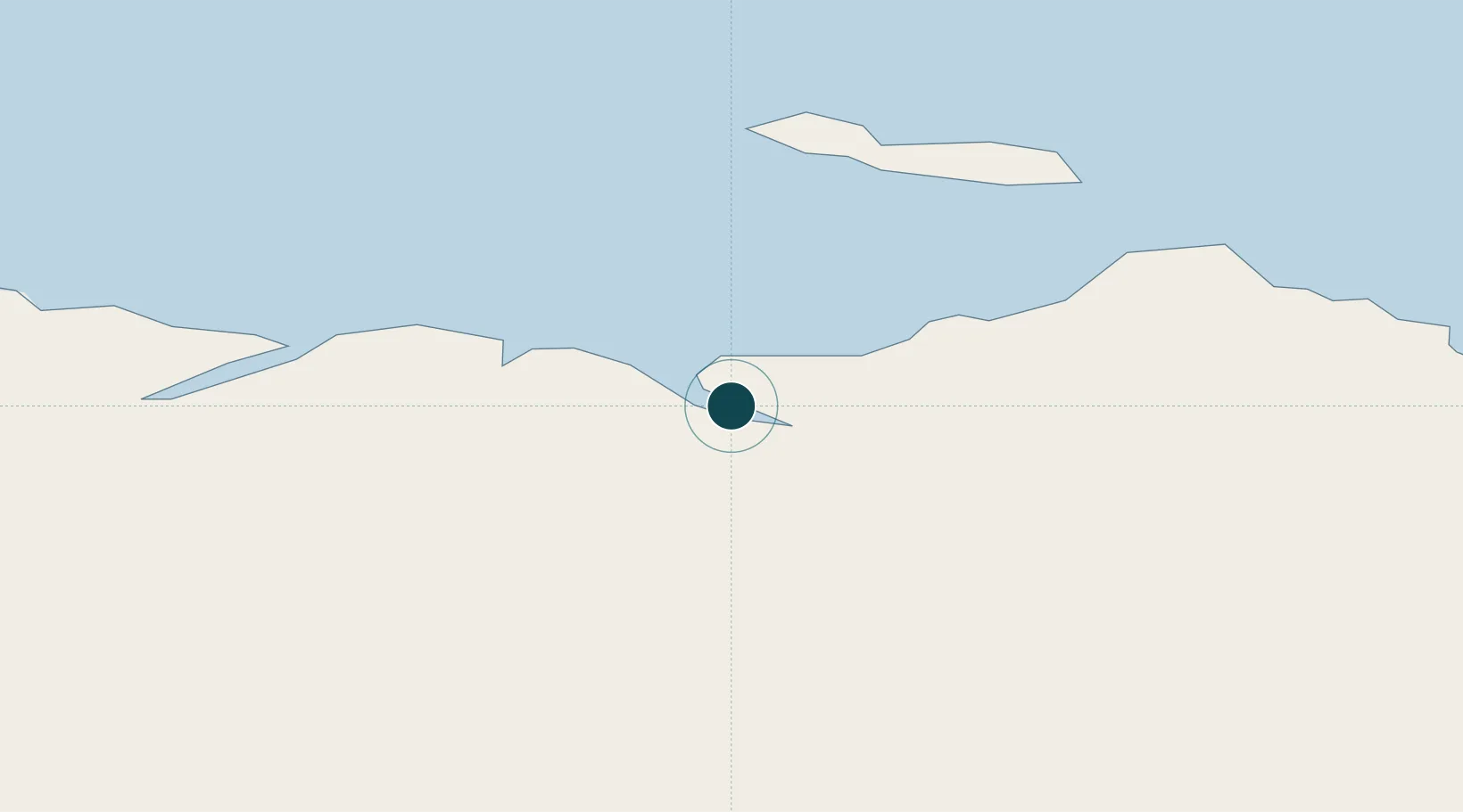
Location
Nearby Logistics Neighbours
Ports
- 1Pangnirtung619 km
- 2Nain962 km
- 3Pond Inlet1182 km
- 4Goose Bay1291 km
- 5Sept Iles1422 km
Cities
- 1Kovik Bay173 km
- 2Iqaluit359 km
- 3Coral Harbour479 km
- 4Tórshavn502 km
- 5Breezewood538 km
Airports
- 1Salluit Airport51 km
- 2Kangiqsujuaq (Wakeham Bay) Airport157 km
- 3Ivujivik Airport170 km
- 4Akulivik Airport236 km
- 5Cape Dorset Airport249 km
Trade Zones
- 1FTZ No. 179 Madawaska1701 km
- 2Québec City FTZ1717 km
- 3FTZ No. 016 Sault Ste. Marie1848 km
- 4Greater Montreal Free Zone Center1852 km
- 5Crossroads Business Park1921 km
DatabookThe Record of Consolidated Knowledge
Canada beyond logistics?