Transport Functions
Port
Airport
Hub Profile
Place type
Locality
Region
Nunavut
Population
2,049
Time zone
America/Iqaluit
Elevation
1 m
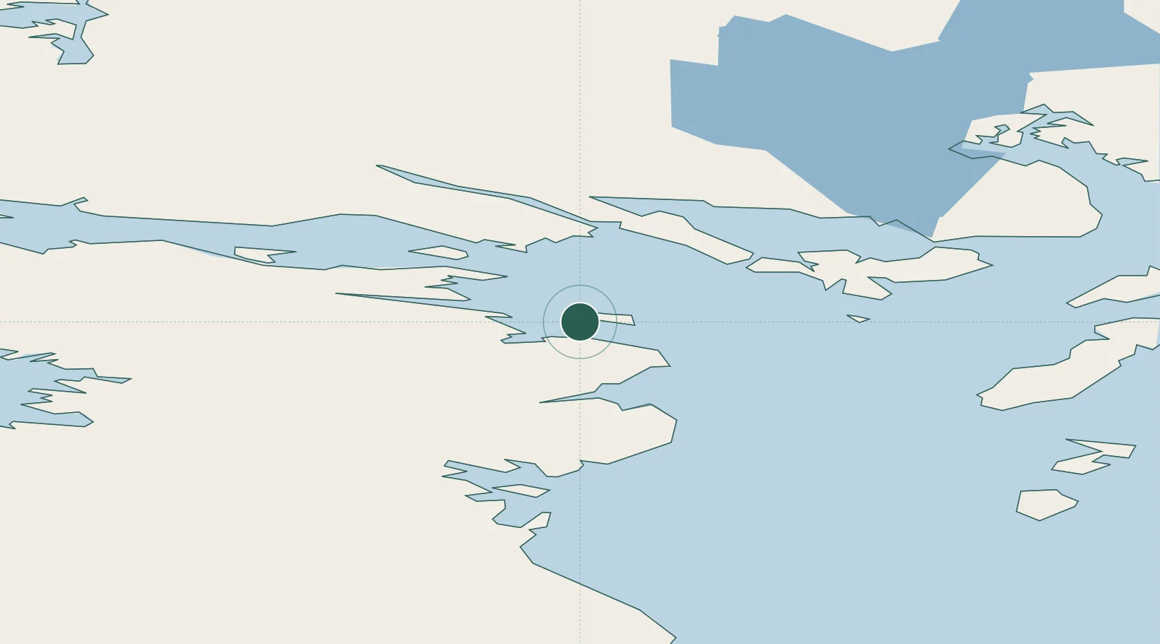
Location
Nearby Logistics Neighbours
Cities
- 1Milne Inlet Port282 km
- 2Arctic Bay425 km
- 3Gjoa Haven564 km
- 4Coral Harbour585 km
- 5Chesterfield Inlet777 km
Ports
- 1Pond Inlet418 km
- 2Pangnirtung763 km
- 3Deception Bay865 km
- 4Pituffik (Thule Air Base)897 km
- 5Churchill1316 km
Airports
- 1Igloolik Airport0 km
- 2Hall Beach Airport70 km
- 3Kugaaruk Airport332 km
- 4Naujaat Airport366 km
- 5Pond Inlet Airport395 km
Trade Zones
- 1Winnipegs Centreport Canada2314 km
- 2Global Transportation Hub Authority2428 km
- 3FTZ No. 259 Koochiching County2442 km
- 4FTZ No. 103 Grand Forks2528 km
- 5FTZ No. 016 Sault Ste. Marie2548 km
DatabookThe Record of Consolidated Knowledge
Canada beyond logistics?