Transport Functions
Port
Road
Airport
Hub Profile
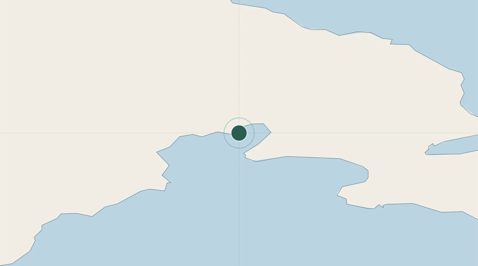
Place type
Populated place
Region
Nunavut
Population
1,035
Time zone
America/Atikokan
Elevation
1 m
Location
Nearby Logistics Neighbours
Cities
- 1Chesterfield Inlet381 km
- 2Kovik Bay398 km
- 3Rankin Inlet465 km
- 4Whale Cove520 km
- 5Igloolik585 km
Ports
- 1Deception Bay479 km
- 2Churchill833 km
- 3Pond Inlet992 km
- 4Pituffik (Thule Air Base)1469 km
- 5Heron Bay1732 km
Airports
- 1Coral Harbour Airport12 km
- 2Naujaat Airport301 km
- 3Cape Dorset Airport322 km
- 4Ivujivik Airport324 km
- 5Chesterfield Inlet Airport382 km
Trade Zones
- 1Winnipegs Centreport Canada1786 km
- 2FTZ No. 259 Koochiching County1887 km
- 3FTZ No. 016 Sault Ste. Marie1964 km
- 4FTZ No. 103 Grand Forks1992 km
- 5FTZ No. 051 Duluth2010 km
DatabookThe Record of Consolidated Knowledge
Canada beyond logistics?