Medium airport · Canada
Hall Beach AirportCYUX
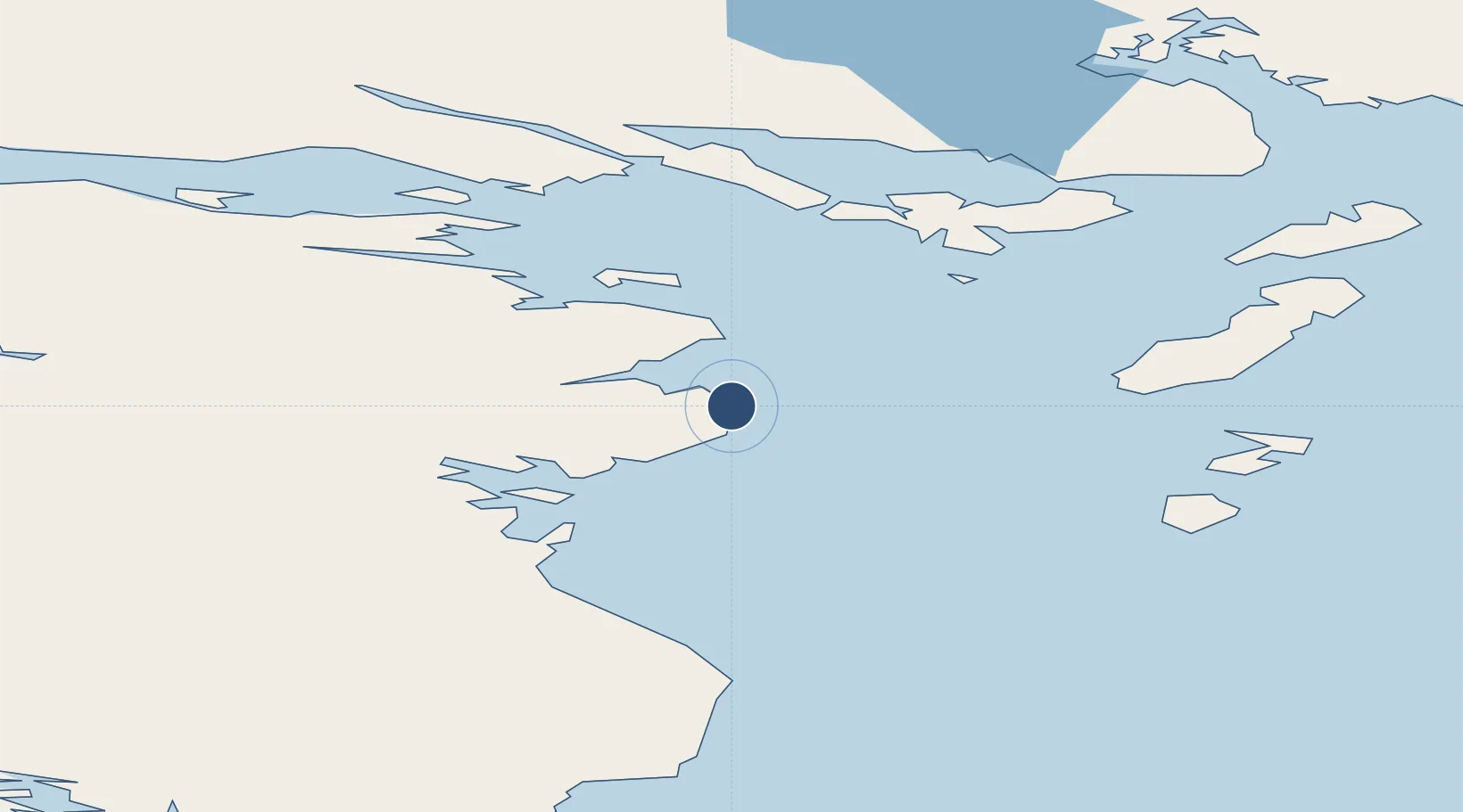
68.7761°, -81.2425°
5,410 ft
Longest runway
1
Runways
30 ft
Elevation
Runway & Layout

Radio Frequencies
AWOS
128.7 MHz
APRT RDO
122.2 MHz
Hall Beach, (V), 12-24Z
MF
122.2 MHz
Hall Beach radio/traffic, 5nm below 3100,
MIL
228.9 MHz
Miltary operations
MIL
256.6 MHz
Military operations
MIL
263.2 MHz
Military operations
MIL
364.2 MHz
Military operations
RCO
126.7 MHz
Artic radio (FISE), (E)
RCO
364.2 MHz
Artic radio (FISE), (E)
Navaids
UX NDB Hall Beach 378 kHz
YUX VOR-DME Hall Beach 117.30 MHz
Runways · 1
| Runway | Dimensions | Surface | True heading | Lit |
|---|---|---|---|---|
| 12T/30T | 5,410 × 150ft | Gravel | 124° | ✓ |
Airport Specifications
IATA code
YUX
ICAO code
CYUX
Airport class
Medium airport
Scheduled service
Yes
Runway surface
Gravel
Served city
Sanirajak
Location
Nearby Logistics Neighbours
Airports
- 1Igloolik Airport69 km
- 2Naujaat Airport327 km
- 3Kugaaruk Airport347 km
- 4Pond Inlet Airport451 km
- 5Arctic Bay Airport490 km
Cities
- 1Igloolik70 km
- 2Milne Inlet Port346 km
- 3Arctic Bay494 km
- 4Coral Harbour523 km
- 5Gjoa Haven588 km
Ports
- 1Pond Inlet471 km
- 2Pangnirtung720 km
- 3Deception Bay796 km
- 4Pituffik (Thule Air Base)951 km
- 5Churchill1275 km
Trade Zones
- 1Winnipegs Centreport Canada2269 km
- 2FTZ No. 259 Koochiching County2390 km
- 3Global Transportation Hub Authority2396 km
- 4FTZ No. 103 Grand Forks2481 km
- 5FTZ No. 016 Sault Ste. Marie2485 km
DatabookThe Record of Consolidated Knowledge
Canada beyond logistics?