Medium airport · Canada
Coral Harbour AirportCYZS
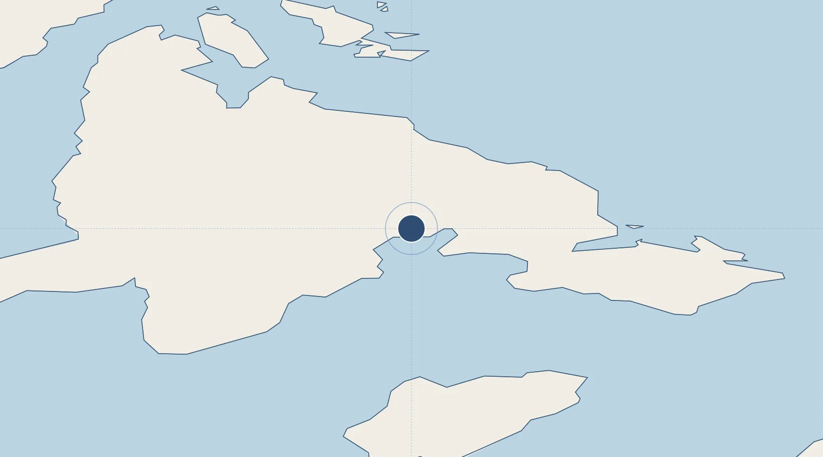
64.1933°, -83.3594°
5,000 ft
Longest runway
1
Runways
210 ft
Elevation
Runway & Layout

Radio Frequencies
ATF
122.1 MHz
MANDATORY FREQ
INFO
133.7 MHz
EDMONTON CENTRE
RDO
122.1 MHz
ARPT RDO
Navaids
YZS NDB Coral Harbour 362 kHz
Runways · 1
| Runway | Dimensions | Surface | True heading | Lit |
|---|---|---|---|---|
| 16T/34T | 5,000 × 100ft | Gravel | 155° | ✓ |
Airport Specifications
IATA code
YZS
ICAO code
CYZS
Airport class
Medium airport
Scheduled service
Yes
Runway surface
Gravel
Served city
Coral Harbour
Location
Nearby Logistics Neighbours
Airports
- 1Naujaat Airport291 km
- 2Cape Dorset Airport330 km
- 3Ivujivik Airport336 km
- 4Chesterfield Inlet Airport374 km
- 5Salluit Airport446 km
Cities
- 1Coral Harbour12 km
- 2Chesterfield Inlet373 km
- 3Kovik Bay409 km
- 4Rankin Inlet458 km
- 5Whale Cove514 km
Ports
- 1Deception Bay491 km
- 2Churchill830 km
- 3Pond Inlet988 km
- 4Pituffik (Thule Air Base)1465 km
- 5Heron Bay1737 km
Trade Zones
- 1Winnipegs Centreport Canada1786 km
- 2FTZ No. 259 Koochiching County1889 km
- 3FTZ No. 016 Sault Ste. Marie1970 km
- 4FTZ No. 103 Grand Forks1993 km
- 5FTZ No. 051 Duluth2013 km
DatabookThe Record of Consolidated Knowledge
Canada beyond logistics?