Medium airport · United States
Juneau International AirportPAJN
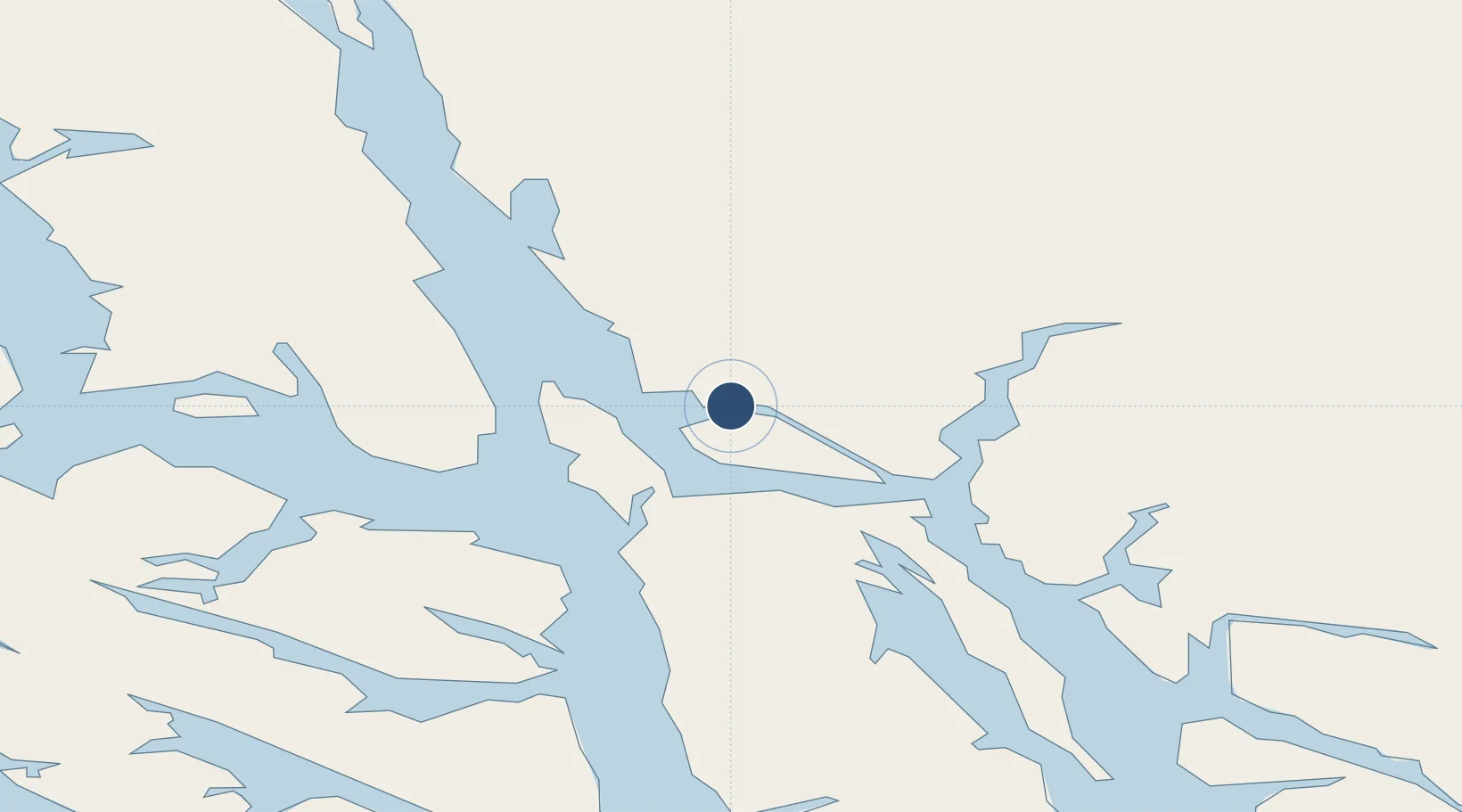
58.3549°, -134.5744°
8,857 ft
Longest runway
2
Runways
21 ft
Elevation
Runway & Layout

Radio Frequencies
ATIS
135.2 MHz
AWOS
114 MHz
TWEB
TWR
118.7 MHz
GND
121.9 MHz
CTAF
118.7 MHz
CNTR
133.9 MHz
ANCHORAGE CNTR
FSS
122.2 MHz
RDO
MISC
122.15 MHz
RDO
OPS
124.65 MHz
NAT GD OPS
UNIC
122.95 MHz
UNICOM
Navaids
CGL NDB Coghlan Island 212 kHz
Runways · 2
| Runway | Dimensions | Surface | True heading | Lit |
|---|---|---|---|---|
| 08/26 | 8,857 × 150ft | Asphalt | 105° | ✓ |
| 08W/26W | 4,800 × 150ft | Water | — | — |
Airport Specifications
IATA code
JNU
ICAO code
PAJN
Airport class
Medium airport
Scheduled service
Yes
Runway surface
Asphalt
Served city
Juneau
Location
Nearby Logistics Neighbours
Airports
Cities
- 1Juneau9 km
- 2Pleasant Island62 km
- 3Tyee145 km
- 4Neets Bay338 km
- 5Ward Cove372 km
Ports
- 1Juneau11 km
- 2Funter22 km
- 3Dupont23 km
- 4Hawk Inlet28 km
- 5Excursion Inlet52 km
Trade Zones
- 1FTZ No. 108 Valdez728 km
- 2PrInce George Logistics Park882 km
- 3FTZ No. 160 Anchorage912 km
- 4FTZ No. 195 Fairbanks998 km
- 5FTZ Vancouver Island1258 km
DatabookThe Record of Consolidated Knowledge
United States beyond logistics?