Small airport · Canada
Gods River AirportCZGI
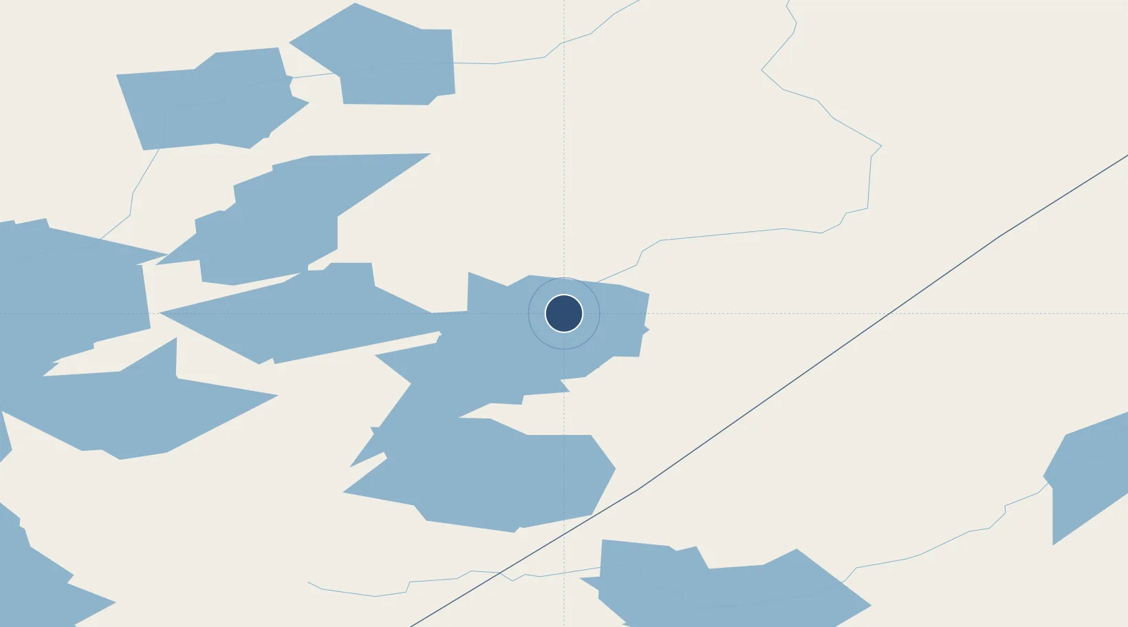
54.8397°, -94.0786°
3,540 ft
Longest runway
1
Runways
627 ft
Elevation
Runway & Layout

Runways · 1
| Runway | Dimensions | Surface | True heading | Lit |
|---|---|---|---|---|
| 09/27 | 3,540 × 80ft | CRUSHED ROCK | — | — |
Airport Specifications
IATA code
ZGI
ICAO code
CZGI
Airport class
Small airport
Scheduled service
Yes
Runway surface
CRUSHED ROCK
Served city
Gods River
Location
Nearby Logistics Neighbours
Airports
- 1Gods Lake Airport24 km
- 2Gods Lake Narrows Airport41 km
- 3Oxford House Airport78 km
- 4Red Sucker Lake Airport82 km
- 5Island Lake Airport115 km
Cities
- 1Island Lake115 km
- 2Split Lake202 km
- 3Red Lake420 km
- 4Ballyhahil422 km
- 5Churchill437 km
Ports
- 1Churchill439 km
- 2Thunder Bay790 km
- 3Grand Marais830 km
- 4Heron Bay870 km
- 5Two Harbors886 km
Trade Zones
- 1Winnipegs Centreport Canada588 km
- 2FTZ No. 259 Koochiching County730 km
- 3FTZ No. 103 Grand Forks799 km
- 4Global Transportation Hub Authority869 km
- 5FTZ No. 051 Duluth907 km
DatabookThe Record of Consolidated Knowledge
Canada beyond logistics?