Small airport · Canada
Gods Lake AirportCJB6
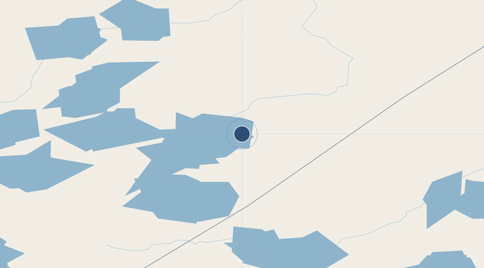
54.7805°, -93.7182°
2,500 ft
Longest runway
1
Runways
605 ft
Elevation
Runway & Layout

Runways · 1
| Runway | Dimensions | Surface | True heading | Lit |
|---|---|---|---|---|
| 16/34 | 2,500 × 65ft | GRAVEL/SAND | — | — |
Airport Specifications
ICAO code
CJB6
Airport class
Small airport
Scheduled service
Yes
Runway surface
GRAVEL/SAND
Served city
Gods Lake
Location
Nearby Logistics Neighbours
Airports
- 1Gods River Airport24 km
- 2Gods Lake Narrows Airport56 km
- 3Red Sucker Lake Airport69 km
- 4Oxford House Airport101 km
- 5Island Lake Airport119 km
Cities
- 1Island Lake119 km
- 2Split Lake222 km
- 3Red Lake413 km
- 4Ballyhahil437 km
- 5Churchill444 km
Ports
- 1Churchill446 km
- 2Thunder Bay774 km
- 3Grand Marais816 km
- 4Heron Bay850 km
- 5Two Harbors875 km
Trade Zones
- 1Winnipegs Centreport Canada591 km
- 2FTZ No. 259 Koochiching County724 km
- 3FTZ No. 103 Grand Forks800 km
- 4Global Transportation Hub Authority886 km
- 5FTZ No. 051 Duluth897 km
DatabookThe Record of Consolidated Knowledge
Canada beyond logistics?