Small airport · Canada
St. Theresa Point AirportCYST
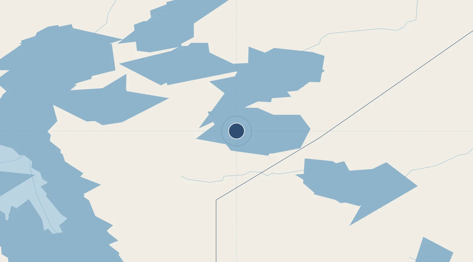
53.8453°, -94.8520°
3,400 ft
Longest runway
1
Runways
773 ft
Elevation
Runway & Layout

Navaids
4K NDB St Theresa Point 362 kHz
Runways · 1
| Runway | Dimensions | Surface | True heading | Lit |
|---|---|---|---|---|
| 04/22 | 3,400 × 75ft | CRUSHED ROCK | — | — |
Airport Specifications
IATA code
YST
ICAO code
CYST
Airport class
Small airport
Scheduled service
Yes
Runway surface
CRUSHED ROCK
Served city
St. Theresa Point
Location
Nearby Logistics Neighbours
Airports
- 1Island Lake Airport13 km
- 2Gods Lake Narrows Airport83 km
- 3Red Sucker Lake Airport92 km
- 4Gods River Airport121 km
- 5Oxford House Airport124 km
Cities
- 1Island Lake12 km
- 2Split Lake279 km
- 3Red Lake317 km
- 4Ballyhahil322 km
- 5Riverton350 km
Ports
- 1Churchill551 km
- 2Thunder Bay721 km
- 3Grand Marais748 km
- 4Two Harbors792 km
- 5Duluth811 km
Trade Zones
- 1Winnipegs Centreport Canada466 km
- 2FTZ No. 259 Koochiching County620 km
- 3FTZ No. 103 Grand Forks679 km
- 4Global Transportation Hub Authority773 km
- 5FTZ No. 267 Fargo792 km
DatabookThe Record of Consolidated Knowledge
Canada beyond logistics?