Medium airport · Canada
High Level AirportCYOJ
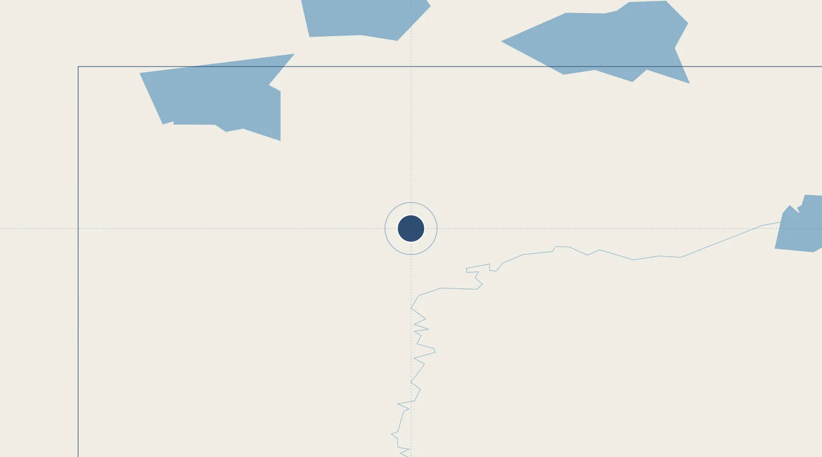
58.6214°, -117.1650°
5,000 ft
Longest runway
1
Runways
1,110 ft
Elevation
Runway & Layout

Radio Frequencies
A/G
123.25 MHz
MF HIGH LEVEL RDO
CNTR
123.7 MHz
EDMONTON CNTR
FSS
123.25 MHz
RDO
RCO
126.7 MHz
EDMONTON RDO
Navaids
YOJ VOR-DME High Level 113.30 MHz
Runways · 1
| Runway | Dimensions | Surface | True heading | Lit |
|---|---|---|---|---|
| 13/31 | 5,000 × 150ft | Asphalt | 154° | ✓ |
Airport Specifications
IATA code
YOJ
ICAO code
CYOJ
Airport class
Medium airport
Scheduled service
Yes
Runway surface
Asphalt
Served city
High Level
Location
Nearby Logistics Neighbours
Airports
- 1Rainbow Lake Airport131 km
- 2Hay River / Merlyn Carter Airport259 km
- 3Peace River Airport267 km
- 4Fort Nelson Airport314 km
- 5Fort Smith Airport334 km
Cities
- 1Grimshaw271 km
- 2Girouxville319 km
- 3McLennan325 km
- 4Spirit River333 km
- 5Guy343 km
Ports
- 1Bella Coola921 km
- 2Duncan Bay1085 km
- 3Alert Bay1091 km
- 4Port Mellon1092 km
- 5Port Mcneill1096 km
Trade Zones
- 1Port Alberta - Edmonton FTZ604 km
- 2PrInce George Logistics Park626 km
- 3Calgary Region Inland Port865 km
- 4FTZ No. 242 Boundary County1098 km
- 5FTZ Vancouver Island1112 km
DatabookThe Record of Consolidated Knowledge
Canada beyond logistics?