Medium airport · Canada
Fort Smith AirportCYSM
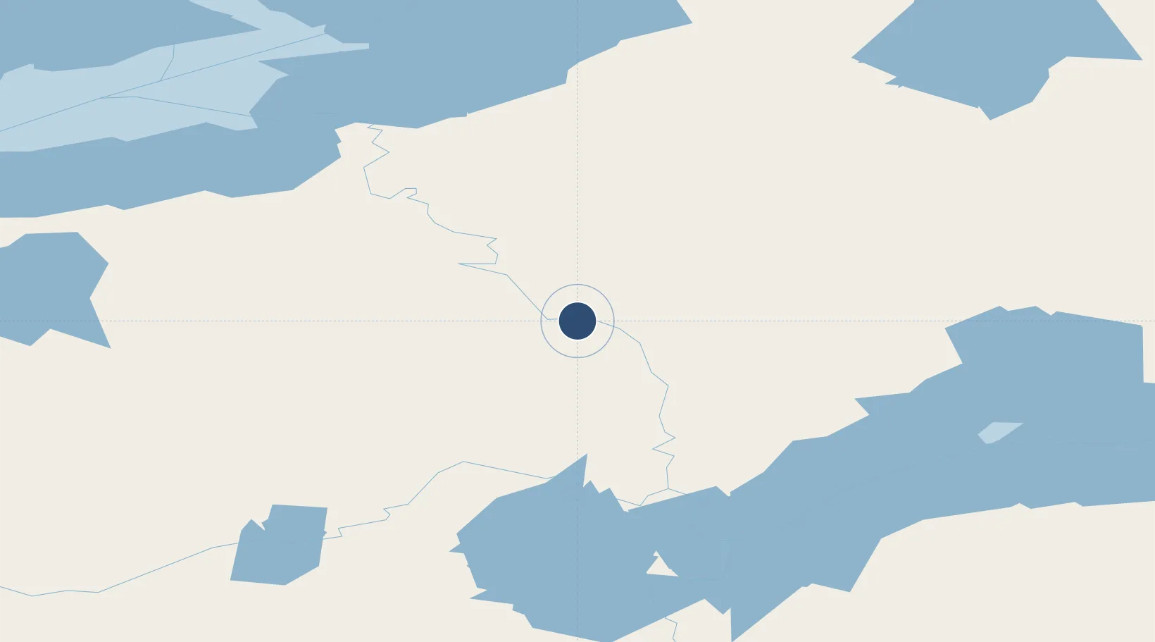
60.0203°, -111.9620°
6,000 ft
Longest runway
2
Runways
671 ft
Elevation
Runway & Layout

Radio Frequencies
A/D
123.55 MHz
YELOWKNIFE RDO
ATF
122.2 MHz
AIRPORT RDO
Navaids
SM NDB Fort Smith 254 kHz
YSM VOR-DME Fort Smith 112.40 MHz
Runways · 2
| Runway | Dimensions | Surface | True heading | Lit |
|---|---|---|---|---|
| 12/30 | 6,000 × 100ft | Asphalt | 131° | ✓ |
| 03/21 | 1,800 × 100ft | COM | 041° | ✓ |
Airport Specifications
IATA code
YSM
ICAO code
CYSM
Airport class
Medium airport
Scheduled service
Yes
Runway surface
Asphalt
Served city
Fort Smith
Location
Nearby Logistics Neighbours
Airports
- 1Fort Chipewyan Airport147 km
- 2Fort Resolution Airport160 km
- 3Uranium City Airport201 km
- 4Hay River / Merlyn Carter Airport229 km
- 5Lutselk'e Airport275 km
Cities
- 1Kearl Lake269 km
- 2Fort MacKay316 km
- 3Anzac403 km
- 4Grimshaw538 km
- 5McLennan562 km
Ports
- 1Mission City1376 km
- 2Port Mellon1378 km
- 3Port Moody1381 km
- 4Port Coquitlam1383 km
- 5Fraser Mills1386 km
Trade Zones
- 1Port Alberta - Edmonton FTZ715 km
- 2PrInce George Logistics Park940 km
- 3Calgary Region Inland Port1006 km
- 4Global Transportation Hub Authority1157 km
- 5FTZ No. 187 Toole County1269 km
DatabookThe Record of Consolidated Knowledge
Canada beyond logistics?