Transport Functions
Multimodal
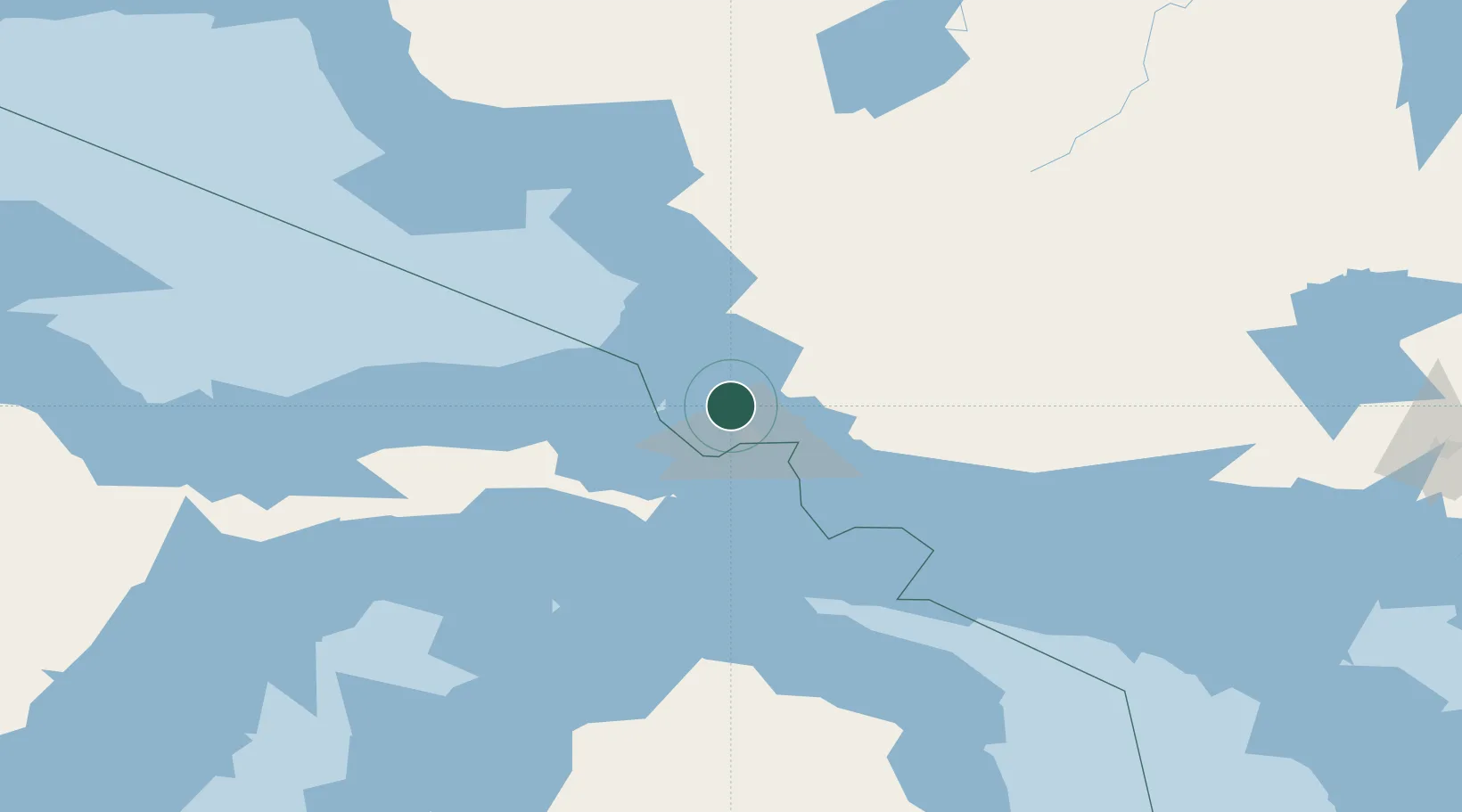
Hub Profile
Place type
Populated place
Region
Ontario
Time zone
America/Toronto
Elevation
189 m
Location
Nearby Logistics Neighbours
Ports
- 1Sault Ste Marie21 km
- 2Sault Ste Marie23 km
- 3Bruce Mines68 km
- 4Thessalon83 km
- 5Mackinac Island96 km
Airports
Trade Zones
- 1FTZ No. 016 Sault Ste. Marie24 km
- 2FTZ No. 167 Brown County390 km
- 3FTZ No. 189 Kent Ottawa/Muskegon Counties412 km
- 4FTZ No. 284 Genesee County413 km
- 5FTZ No. 140 Flint413 km
DatabookThe Record of Consolidated Knowledge
Canada beyond logistics?