Transport Functions
Rail
Road
Multimodal
Hub Profile
Place type
Populated place
Region
Ontario
Time zone
America/Toronto
Elevation
287 m
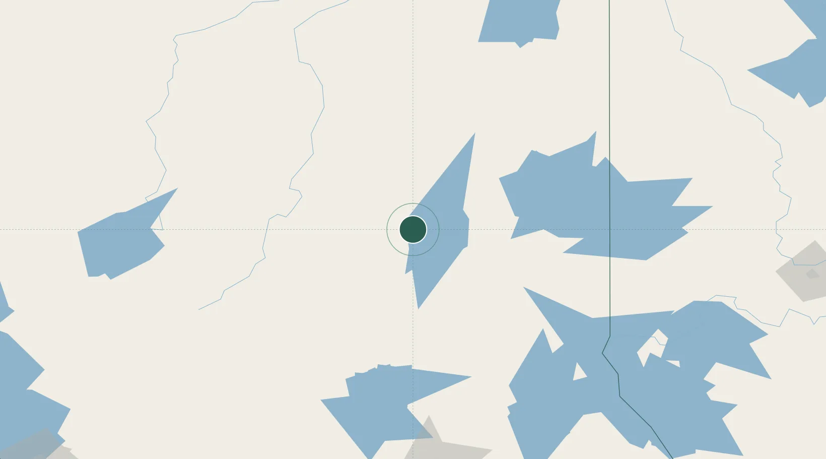
Location
Nearby Logistics Neighbours
Cities
- 1Iroquois Falls47 km
- 2Moonbeam117 km
- 3New Liskeard158 km
- 4Rouyn-Noranda163 km
- 5Gulfport165 km
Ports
- 1Michipicoten282 km
- 2Killarney283 km
- 3Little Current286 km
- 4Blind River290 km
- 5Key Harbour293 km
Airports
- 1Timmins/Victor M. Power16 km
- 2Cochrane Airport69 km
- 3Kirkland Lake Airport95 km
- 4Earlton (Timiskaming Regional) Airport133 km
- 5Kapuskasing Airport138 km
Trade Zones
- 1FTZ No. 016 Sault Ste. Marie330 km
- 2FTZ No. 034 Niagara County597 km
- 3FTZ No. 118 Ogdensburg604 km
- 4Niagara Foreign Trade Zone624 km
- 5FTZ No. 141 Monroe County631 km
DatabookThe Record of Consolidated Knowledge
Canada beyond logistics?