Transport Functions
Rail
Road
Multimodal
Hub Profile
Place type
Populated place
Region
Ontario
Population
4,232
Time zone
America/Toronto
Elevation
280 m
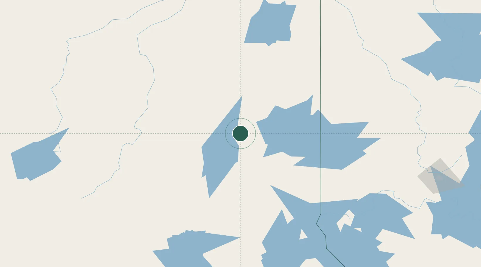
Location
Nearby Logistics Neighbours
Cities
- 1Porcupine47 km
- 2Moonbeam124 km
- 3Rouyn-Noranda136 km
- 4New Liskeard160 km
- 5Latchford172 km
Ports
- 1Killarney318 km
- 2Key Harbour321 km
- 3Little Current324 km
- 4Michipicoten324 km
- 5Byng Inlet334 km
Airports
- 1Cochrane Airport45 km
- 2Timmins/Victor M. Power55 km
- 3Kirkland Lake Airport81 km
- 4Earlton (Timiskaming Regional) Airport134 km
- 5Kapuskasing Airport149 km
Trade Zones
- 1FTZ No. 016 Sault Ste. Marie377 km
- 2FTZ No. 118 Ogdensburg599 km
- 3FTZ No. 034 Niagara County617 km
- 4Niagara Foreign Trade Zone644 km
- 5FTZ No. 141 Monroe County645 km
DatabookThe Record of Consolidated Knowledge
Canada beyond logistics?