Medium airport · Canada
Cochrane AirportCYCN
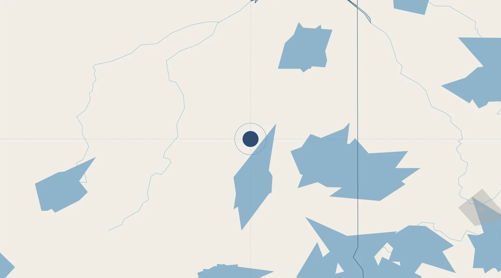
49.1056°, -81.0136°
4,500 ft
Longest runway
1
Runways
861 ft
Elevation
Runway & Layout

Radio Frequencies
ATF
122.8 MHz
Runways · 1
| Runway | Dimensions | Surface | True heading | Lit |
|---|---|---|---|---|
| 13/31 | 4,500 × 100ft | Asphalt | 119° | ✓ |
Airport Specifications
IATA code
YCN
ICAO code
CYCN
Airport class
Medium airport
Scheduled service
No
Runway surface
Asphalt
Served city
Cochrane
Location
Nearby Logistics Neighbours
Airports
- 1Timmins/Victor M. Power65 km
- 2Kapuskasing Airport111 km
- 3Kirkland Lake Airport125 km
- 4Earlton (Timiskaming Regional) Airport179 km
- 5Rouyn Noranda Airport189 km
Cities
- 1Iroquois Falls45 km
- 2Porcupine69 km
- 3Moonbeam86 km
- 4Rouyn-Noranda176 km
- 5New Liskeard204 km
Ports
- 1Michipicoten313 km
- 2Killarney351 km
- 3Little Current354 km
- 4Blind River356 km
- 5Key Harbour359 km
Trade Zones
- 1FTZ No. 016 Sault Ste. Marie386 km
- 2FTZ No. 118 Ogdensburg643 km
- 3FTZ No. 034 Niagara County659 km
- 4Niagara Foreign Trade Zone686 km
- 5FTZ No. 141 Monroe County688 km
DatabookThe Record of Consolidated Knowledge
Canada beyond logistics?