Medium airport · Canada
Fort Liard AirportCYJF
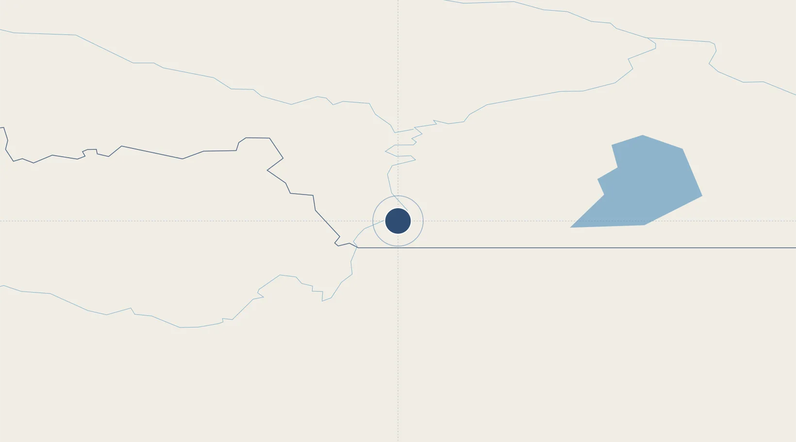
60.2358°, -123.4690°
2,946 ft
Longest runway
1
Runways
708 ft
Elevation
Runway & Layout

Runways · 1
| Runway | Dimensions | Surface | True heading | Lit |
|---|---|---|---|---|
| 03/21 | 2,946 × 98ft | GRVL | 048° | — |
Airport Specifications
IATA code
YJF
ICAO code
CYJF
Airport class
Medium airport
Scheduled service
No
Runway surface
GRVL
Served city
Fort Liard
Location
Nearby Logistics Neighbours
Airports
- 1Fort Nelson Airport163 km
- 2Fort Simpson Airport208 km
- 3Watson Lake Airport296 km
- 4Rainbow Lake Airport301 km
- 5Wrigley Airport331 km
Cities
- 1Bay Tree534 km
- 2Fort Franklin550 km
- 3Grimshaw565 km
- 4Spirit River567 km
- 5Hythe592 km
Ports
- 1Stewart613 km
- 2Hyder614 km
- 3Wrangell667 km
- 4Petersburg668 km
- 5Loring705 km
Trade Zones
- 1PrInce George Logistics Park704 km
- 2Port Alberta - Edmonton FTZ956 km
- 3Calgary Region Inland Port1177 km
- 4FTZ Vancouver Island1222 km
- 5FTZ No. 128 Whatcom County1272 km
DatabookThe Record of Consolidated Knowledge
Canada beyond logistics?