Small airport · Canada
Dease Lake AirportCYDL
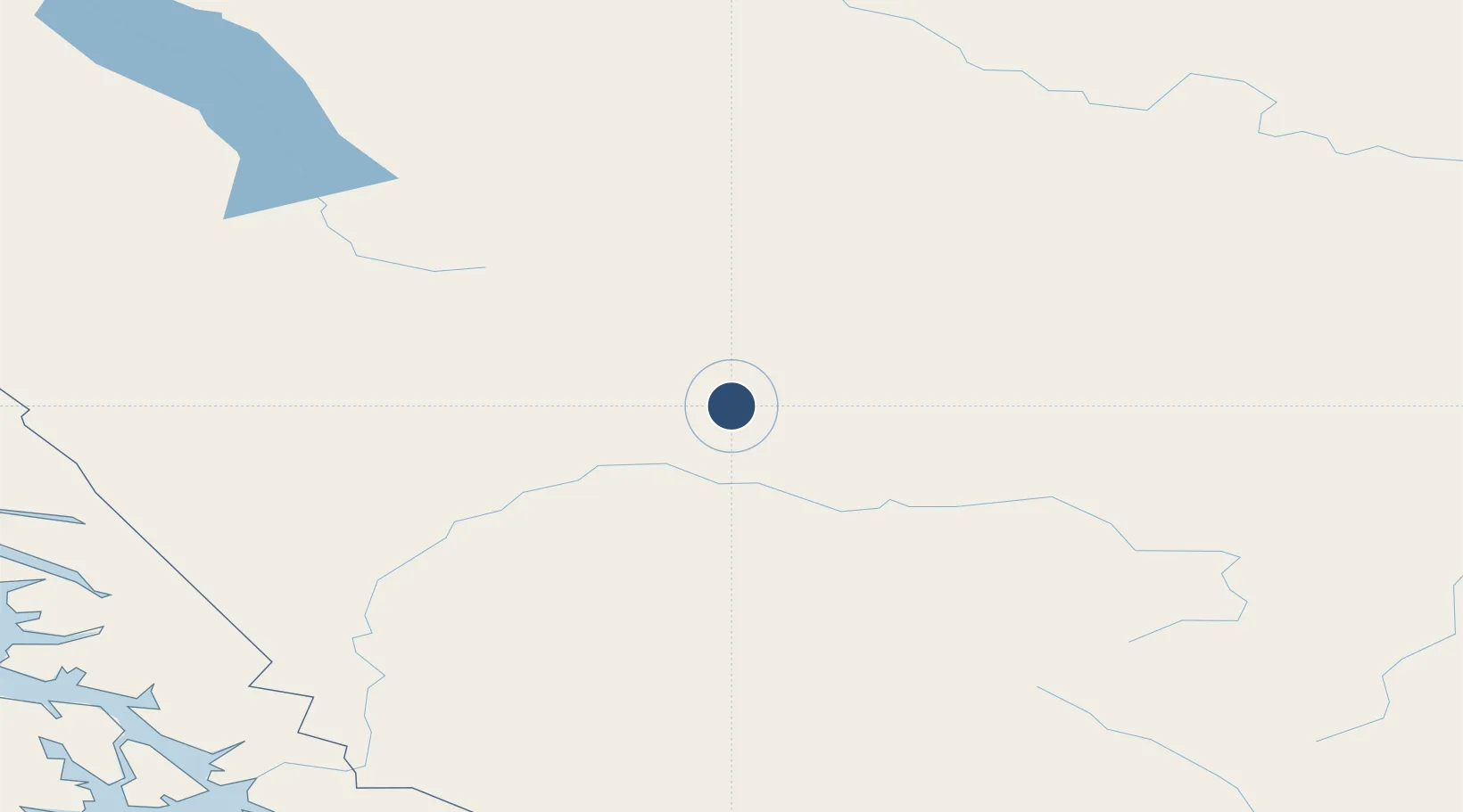
58.4222°, -130.0320°
6,000 ft
Longest runway
1
Runways
2,600 ft
Elevation
Runway & Layout

Radio Frequencies
ATF
123.2 MHz
CNTR
134.05 MHz
EDMONTON CNTR
RCO
126.7 MHz
WHITEHORSE RDO
Navaids
YDL NDB Dease Lake 200 kHz
Runways · 1
| Runway | Dimensions | Surface | True heading | Lit |
|---|---|---|---|---|
| 02/20 | 6,000 × 90ft | Asphalt | 048° | ✓ |
Airport Specifications
IATA code
YDL
ICAO code
CYDL
Airport class
Small airport
Scheduled service
Yes
Runway surface
Asphalt
Served city
Dease Lake
Location
Nearby Logistics Neighbours
Airports
- 1Watson Lake Airport201 km
- 2Atlin Airport245 km
- 3Teslin Airport248 km
- 4Petersburg James A Johnson Airport250 km
- 5Wrangell Airport257 km
Cities
- 1Juneau258 km
- 2Neets Bay308 km
- 3Tyee309 km
- 4Pleasant Island327 km
- 5Ward Cove351 km
Ports
- 1Dupont248 km
- 2Petersburg249 km
- 3Juneau256 km
- 4Wrangell259 km
- 5Stewart277 km
Trade Zones
- 1PrInce George Logistics Park673 km
- 2FTZ Vancouver Island1115 km
- 3FTZ No. 128 Whatcom County1175 km
- 4FTZ No. 129 Bellingham1182 km
- 5FTZ No. 085 Everett1268 km
DatabookThe Record of Consolidated Knowledge
Canada beyond logistics?