Small airport · United States

Eagle AirportPAEG

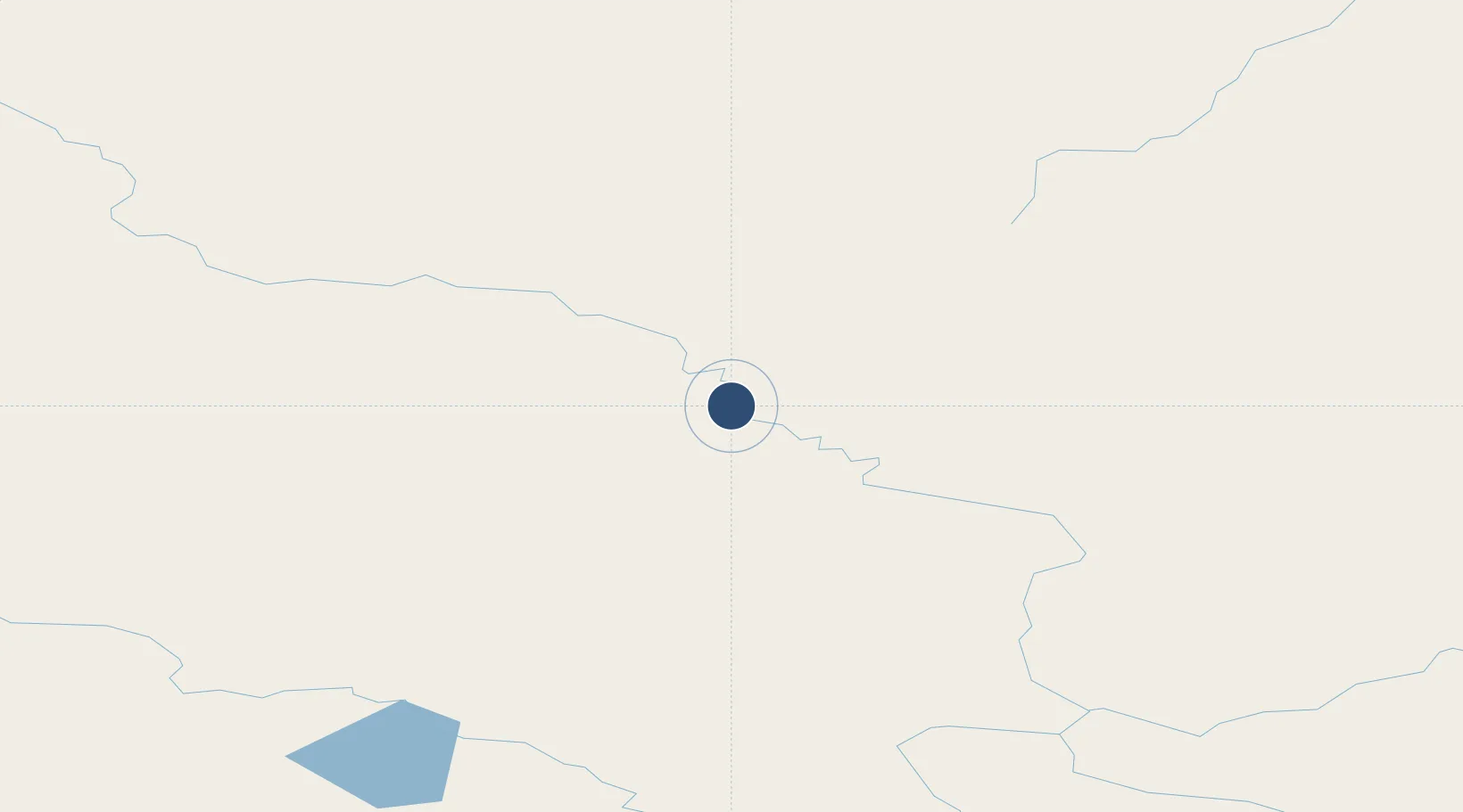
64.7780°, -141.1505°
3,600 ft
Longest runway
1
Runways
908 ft
Elevation

Runway & Layout

Eagle Airport runway & taxiway layout
Runway & taxiway layout — OpenStreetMap (ODbL) / OurAirports

Runways · 1

RunwayDimensions SurfaceTrue headingLit
07/25 3,600 × 75ft GRVL-F
OurAirports

Airport Specifications

IATA code
EAA
OurAirports
ICAO code
PAEG
OurAirports
Airport class
Small airport
OurAirports
Scheduled service
Yes
OurAirports
Runway surface
GRVL-F
OurAirports
Served city
Eagle
OurAirports

Location

Location of PAEG
Natural Earth 10m (public domain) · Alaska · PAEG · 64.78, -141.15GoogleOSMYandex

Nearby Logistics Neighbours

Airports
  1. 1Chicken Airport88 km
  2. 2Dawson City Airport127 km
  3. 3Circle City (New) Airport179 km
  4. 4Tok Junction Airport183 km
  5. 5Central Airport191 km
Nearest neighbours — logibook spatial index (haversine) over the source coordinates
Cities
  1. 1Valdez482 km
  2. 2Orca522 km
  3. 3Cordova525 km
  4. 4Herschel Island540 km
  5. 5Houston557 km
Nearest neighbours — logibook spatial index (haversine) over the source coordinates
Ports
  1. 1Valdez482 km
  2. 2Orca521 km
  3. 3Cordova526 km
  4. 4Yakutat586 km
  5. 5Whittier587 km
Nearest neighbours — logibook spatial index (haversine) over the source coordinates
Trade Zones
  1. 1FTZ No. 195 Fairbanks311 km
  2. 2FTZ No. 108 Valdez483 km
  3. 3FTZ No. 160 Anchorage590 km
  4. 4FTZ No. 232 Kodiak1051 km
  5. 5PrInce George Logistics Park1584 km
Nearest neighbours — logibook spatial index (haversine) over the source coordinates
DatabookThe Record of Consolidated Knowledge
United States beyond logistics?
Browse databook

All Sources

AirportsOurAirports
Public domain
Portsthe NGA World Port Index
Public domain (US gov)
LocationsUN/LOCODE
UN/LOCODE — free
Trade Zonesthe World Bank SEZ database
CC BY 4.0
Trade ZonesOpen Zone Map
CC BY
InfrastructureOpenStreetMap
ODbL 1.0
← United States airports