Transport Functions
Port
Multimodal
Hub Profile
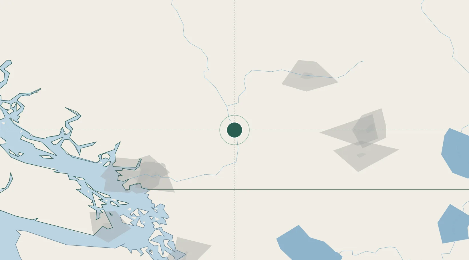
Place type
Populated place
Region
British Columbia
Time zone
America/Vancouver
Elevation
160 m
Location
Nearby Logistics Neighbours
Cities
- 1Agassiz75 km
- 2Princeton85 km
- 3Lillooet95 km
- 4Yarrow98 km
- 5Mount Currie101 km
Ports
- 1Mission City100 km
- 2Port Coquitlam118 km
- 3Port Moody122 km
- 4Fraser Mills124 km
- 5New Westminster129 km
Airports
Trade Zones
- 1FTZ Vancouver Island139 km
- 2FTZ No. 128 Whatcom County143 km
- 3FTZ No. 129 Bellingham148 km
- 4FTZ No. 085 Everett216 km
- 5FTZ No. 005 Seattle263 km
DatabookThe Record of Consolidated Knowledge
Canada beyond logistics?