UN/LOCODE hub · Canada
CASUY

Surrey

49.1894°, -122.9011°
568,322
Population
1
Transport functions

Transport Functions

Port
UN/LOCODE

Hub Profile

Place type
Populated place
GeoNames
Region
British Columbia
GeoNames
Population
568,322
GeoNames
Time zone
America/Vancouver
GeoNames
Elevation
82 m
GeoNames
Logistics facilities
2
UN/LOCODE

Location

Location of CASUY
Natural Earth 10m (public domain) · British Columbia · CASUY · 49.19, -122.90GoogleOSMYandex

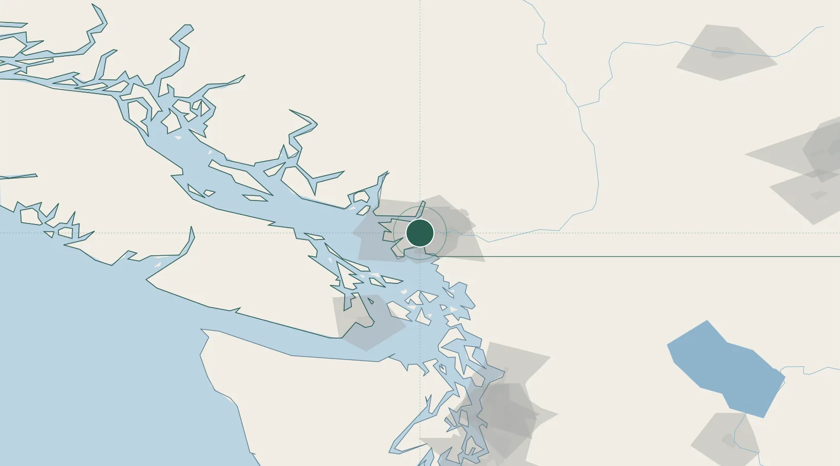
Nearby Logistics Neighbours

Cities
  1. 1Fraser-Surrey Docks2 km
  2. 2New Westminster4 km
  3. 3Vancouver6 km
  4. 4Conquitlam8 km
  5. 5Delta13 km
Nearest neighbours — logibook spatial index (haversine) over the source coordinates
Ports
  1. 1New Westminster2 km
  2. 2Fraser Mills5 km
  3. 3Port Moody11 km
  4. 4Port Coquitlam11 km
  5. 5Vancouver19 km
Nearest neighbours — logibook spatial index (haversine) over the source coordinates
Airports
  1. 1Pitt Meadows Seaplane Base14 km
  2. 2Pitt Meadows Regional Airport14 km
  3. 3Boundary Bay Airport15 km
  4. 4Harbour (Public) Heliport18 km
  5. 5Vancouver Harbour Water Aerodrome19 km
Nearest neighbours — logibook spatial index (haversine) over the source coordinates
Trade Zones
  1. 1FTZ Vancouver Island17 km
  2. 2FTZ No. 128 Whatcom County49 km
  3. 3FTZ No. 129 Bellingham56 km
  4. 4FTZ No. 085 Everett141 km
  5. 5FTZ No. 005 Seattle178 km
Nearest neighbours — logibook spatial index (haversine) over the source coordinates
DatabookThe Record of Consolidated Knowledge
Canada beyond logistics?
Browse databook

All Sources

LocationsUN/LOCODE
UN/LOCODE — free
LocationsGeoNames
CC BY 4.0
Portsthe NGA World Port Index
Public domain (US gov)
AirportsOurAirports
Public domain
Trade Zonesthe World Bank SEZ database
CC BY 4.0
Trade ZonesOpen Zone Map
CC BY
← Canada locations