UN/LOCODE hub · Canada
CACQT

Conquitlam

49.2333°, -122.8167°
2
Transport functions

Transport Functions

Port
Multimodal
UN/LOCODE

Hub Profile

Region
BC
GeoNames

Location

Location of CACQT
Natural Earth 10m (public domain) · BC · CACQT · 49.23, -122.82GoogleOSMYandex

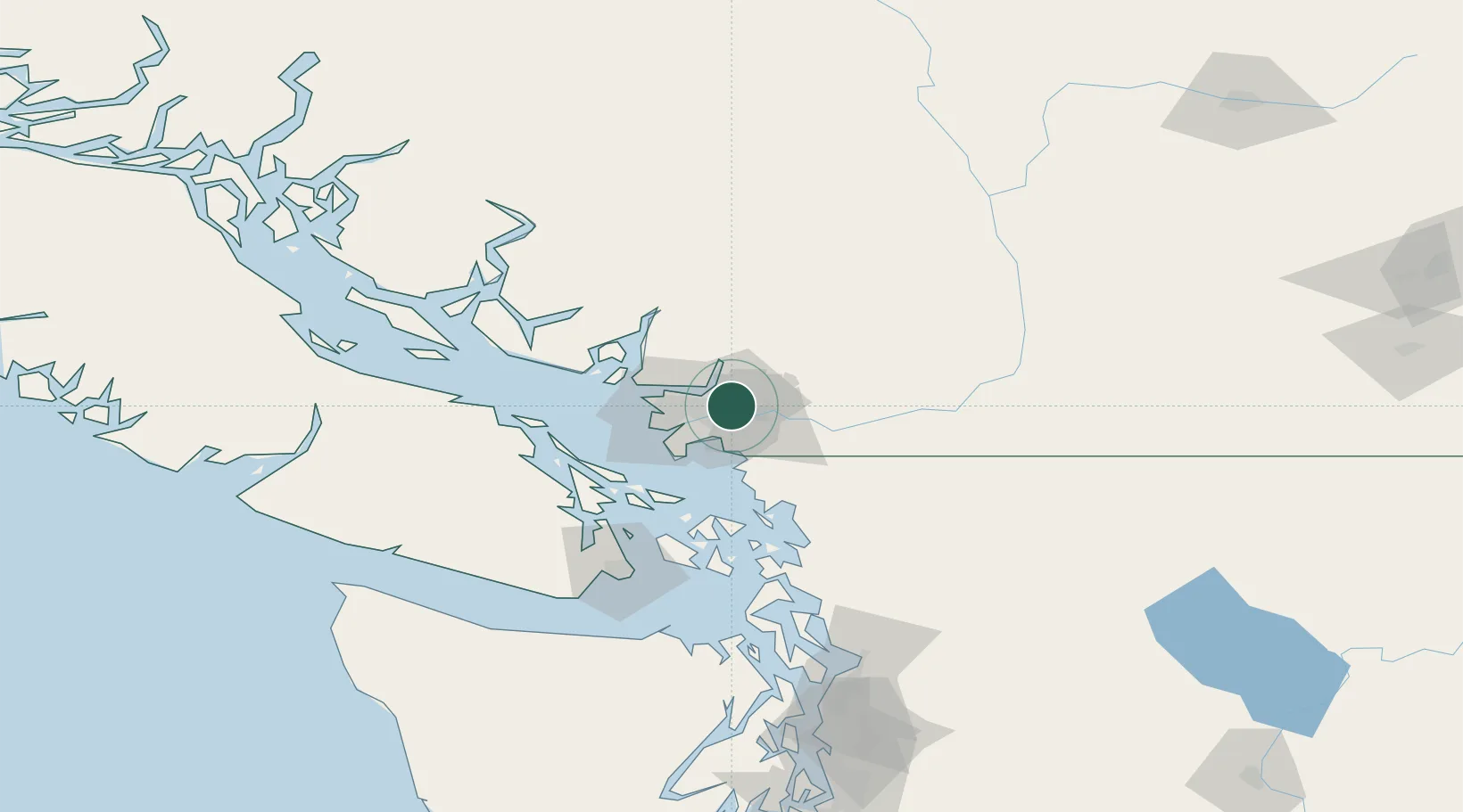
Nearby Logistics Neighbours

Cities
  1. 1Surrey8 km
  2. 2Fraser-Surrey Docks9 km
  3. 3New Westminster12 km
  4. 4Vancouver13 km
  5. 5Indian Arm15 km
Nearest neighbours — logibook spatial index (haversine) over the source coordinates
Ports
  1. 1Fraser Mills3 km
  2. 2Port Coquitlam4 km
  3. 3Port Moody7 km
  4. 4New Westminster8 km
  5. 5Vancouver23 km
Nearest neighbours — logibook spatial index (haversine) over the source coordinates
Airports
  1. 1Pitt Meadows Regional Airport8 km
  2. 2Pitt Meadows Seaplane Base8 km
  3. 3Langley Airport20 km
  4. 4Harbour (Public) Heliport22 km
  5. 5Boundary Bay Airport22 km
Nearest neighbours — logibook spatial index (haversine) over the source coordinates
Trade Zones
  1. 1FTZ Vancouver Island22 km
  2. 2FTZ No. 128 Whatcom County51 km
  3. 3FTZ No. 129 Bellingham57 km
  4. 4FTZ No. 085 Everett144 km
  5. 5FTZ No. 005 Seattle182 km
Nearest neighbours — logibook spatial index (haversine) over the source coordinates
DatabookThe Record of Consolidated Knowledge
Canada beyond logistics?
Browse databook

All Sources

LocationsUN/LOCODE
UN/LOCODE — free
Portsthe NGA World Port Index
Public domain (US gov)
AirportsOurAirports
Public domain
Trade Zonesthe World Bank SEZ database
CC BY 4.0
Trade ZonesOpen Zone Map
CC BY
← Canada locations