Runway & Layout

Airport Specifications
IATA code
SGG
ICAO code
BGSG
Airport class
Heliport
Scheduled service
Yes
Served city
Sermiligaaq
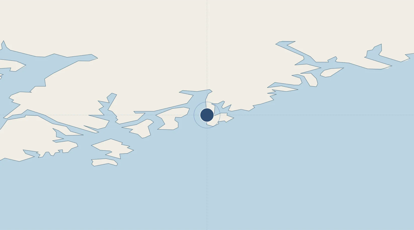
Location
Nearby Logistics Neighbours
Airports
- 1Kuummiut Heliport29 km
- 2Kulusuk Airport50 km
- 3Tiniteqilaaq Heliport64 km
- 4Tasiilaq Heliport65 km
- 5Isortoq Heliport125 km
Cities
- 1Kuummiut29 km
- 2Tiniteqilaaq65 km
- 3Tasiilaq67 km
- 4Bolungarvik593 km
- 5Olafsvík596 km
Ports
- 1Ammassalik65 km
- 2Patreksfjordur565 km
- 3Bildudalur582 km
- 4Thingeyri585 km
- 5Bolungarvik593 km
Trade Zones
- 1Shannon Free Zone2110 km
- 2Dublin International Financial Services Centre2158 km
- 3Crossroads Business Park2160 km
- 4Cape Breton Regional Municipality Foreign Trade Zone2629 km
- 5Halifax Gateway2876 km
DatabookThe Record of Consolidated Knowledge
Greenland beyond logistics?