Runway & Layout

Airport Specifications
IATA code
KUZ
ICAO code
BGKM
Airport class
Heliport
Scheduled service
Yes
Served city
Kuummiut
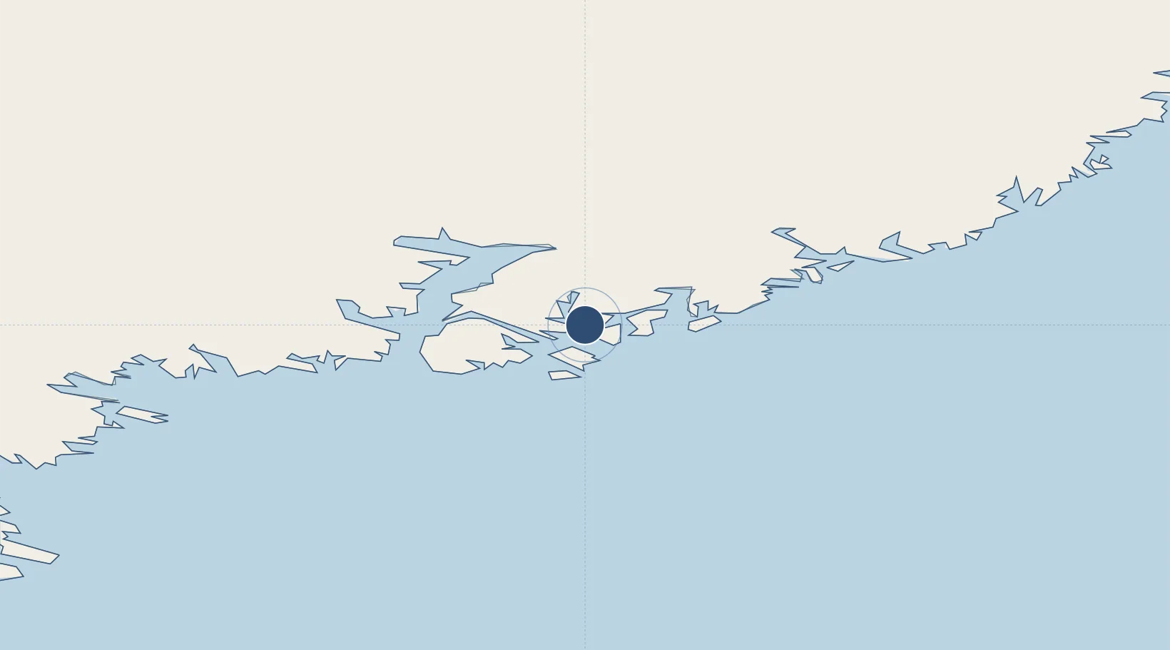
Location
Nearby Logistics Neighbours
Airports
- 1Sermiligaaq Heliport29 km
- 2Kulusuk Airport33 km
- 3Tiniteqilaaq Heliport36 km
- 4Tasiilaq Heliport40 km
- 5Isortoq Heliport97 km
Cities
- 1Kuummiut1 km
- 2Tiniteqilaaq37 km
- 3Tasiilaq41 km
- 4Bolungarvik621 km
- 5Olafsvík624 km
Ports
- 1Ammassalik39 km
- 2Patreksfjordur594 km
- 3Bildudalur611 km
- 4Thingeyri613 km
- 5Bolungarvik622 km
Trade Zones
- 1Shannon Free Zone2132 km
- 2Crossroads Business Park2139 km
- 3Dublin International Financial Services Centre2182 km
- 4Cape Breton Regional Municipality Foreign Trade Zone2606 km
- 5Halifax Gateway2852 km
DatabookThe Record of Consolidated Knowledge
Greenland beyond logistics?