Runway & Layout

Airport Specifications
IATA code
IOQ
ICAO code
BGIS
Airport class
Heliport
Scheduled service
Yes
Served city
Isortoq
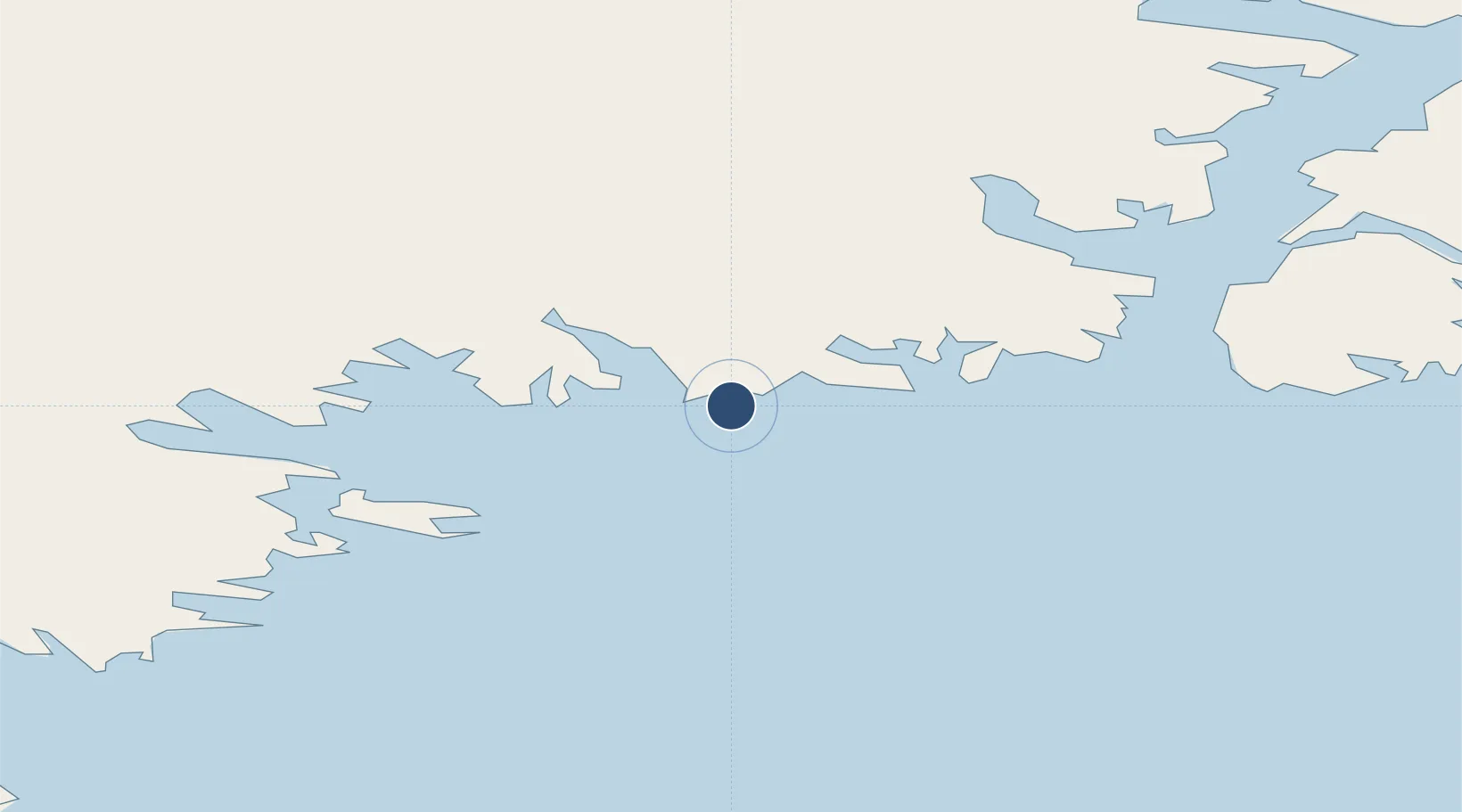
Location
Nearby Logistics Neighbours
Airports
- 1Tasiilaq Heliport63 km
- 2Tiniteqilaaq Heliport67 km
- 3Kulusuk Airport85 km
- 4Kuummiut Heliport97 km
- 5Sermiligaaq Heliport125 km
Cities
- 1Tasiilaq62 km
- 2Tiniteqilaaq66 km
- 3Kuummiut96 km
- 4Kangerlussuaq Havn557 km
- 5Seqi Olivine Mine589 km
Ports
- 1Ammassalik63 km
- 2Soendre Stroemfjord557 km
- 3Narsarssuaq585 km
- 4Nuuk621 km
- 5Narsaq624 km
Trade Zones
- 1Crossroads Business Park2058 km
- 2Shannon Free Zone2196 km
- 3Dublin International Financial Services Centre2252 km
- 4Cape Breton Regional Municipality Foreign Trade Zone2519 km
- 5FTZ No. 179 Madawaska2669 km
DatabookThe Record of Consolidated Knowledge
Greenland beyond logistics?