Transport Functions
Port
Road
Hub Profile
Place type
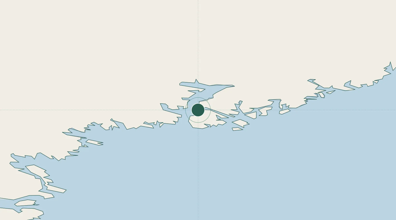
Populated place
Region
Sermersooq
Population
96
Time zone
America/Nuuk
Location
Nearby Logistics Neighbours
Cities
- 1Tasiilaq34 km
- 2Kuummiut37 km
- 3Kangerlussuaq Havn594 km
- 4Seqi Olivine Mine643 km
- 5Bolungarvik657 km
Ports
- 1Ammassalik33 km
- 2Soendre Stroemfjord594 km
- 3Patreksfjordur631 km
- 4Bildudalur647 km
- 5Narsarssuaq648 km
Airports
- 1Tiniteqilaaq Heliport2 km
- 2Tasiilaq Heliport33 km
- 3Kuummiut Heliport37 km
- 4Kulusuk Airport48 km
- 5Sermiligaaq Heliport65 km
Trade Zones
- 1Crossroads Business Park2120 km
- 2Shannon Free Zone2167 km
- 3Dublin International Financial Services Centre2218 km
- 4Cape Breton Regional Municipality Foreign Trade Zone2583 km
- 5Halifax Gateway2827 km
DatabookThe Record of Consolidated Knowledge
Greenland beyond logistics?