Transport Functions
Port
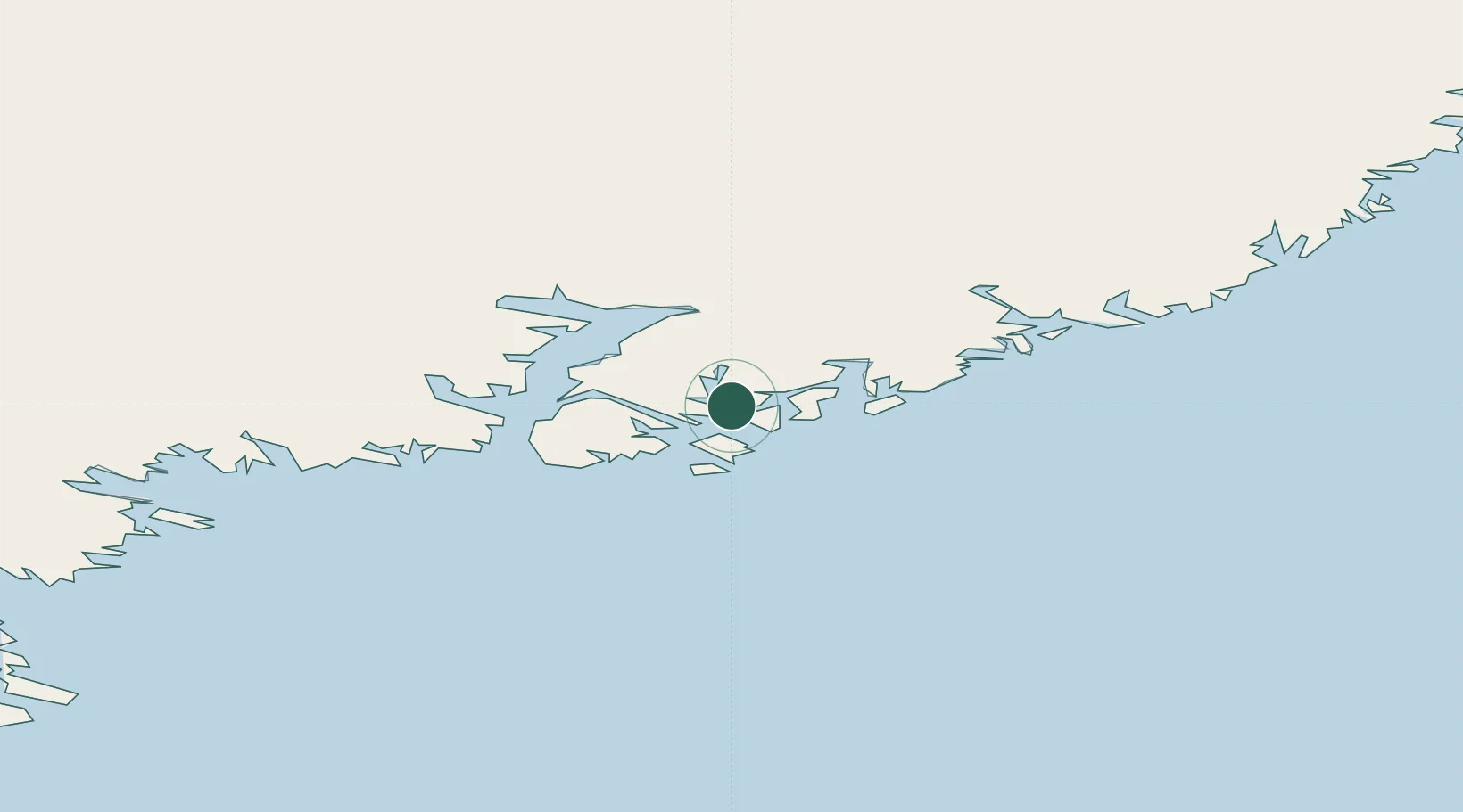
Location
Nearby Logistics Neighbours
Cities
- 1Tiniteqilaaq37 km
- 2Tasiilaq41 km
- 3Bolungarvik622 km
- 4Olafsvík625 km
- 5Kangerlussuaq Havn630 km
Ports
- 1Ammassalik39 km
- 2Patreksfjordur595 km
- 3Bildudalur611 km
- 4Thingeyri614 km
- 5Bolungarvik623 km
Airports
- 1Kuummiut Heliport1 km
- 2Sermiligaaq Heliport29 km
- 3Kulusuk Airport33 km
- 4Tiniteqilaaq Heliport35 km
- 5Tasiilaq Heliport39 km
Trade Zones
- 1Shannon Free Zone2133 km
- 2Crossroads Business Park2138 km
- 3Dublin International Financial Services Centre2183 km
- 4Cape Breton Regional Municipality Foreign Trade Zone2606 km
- 5Halifax Gateway2851 km
DatabookThe Record of Consolidated Knowledge
Greenland beyond logistics?