Transport Functions
Port
Airport
Hub Profile
Place type
Populated place
Region
Sermersooq
Population
1,985
Time zone
America/Nuuk
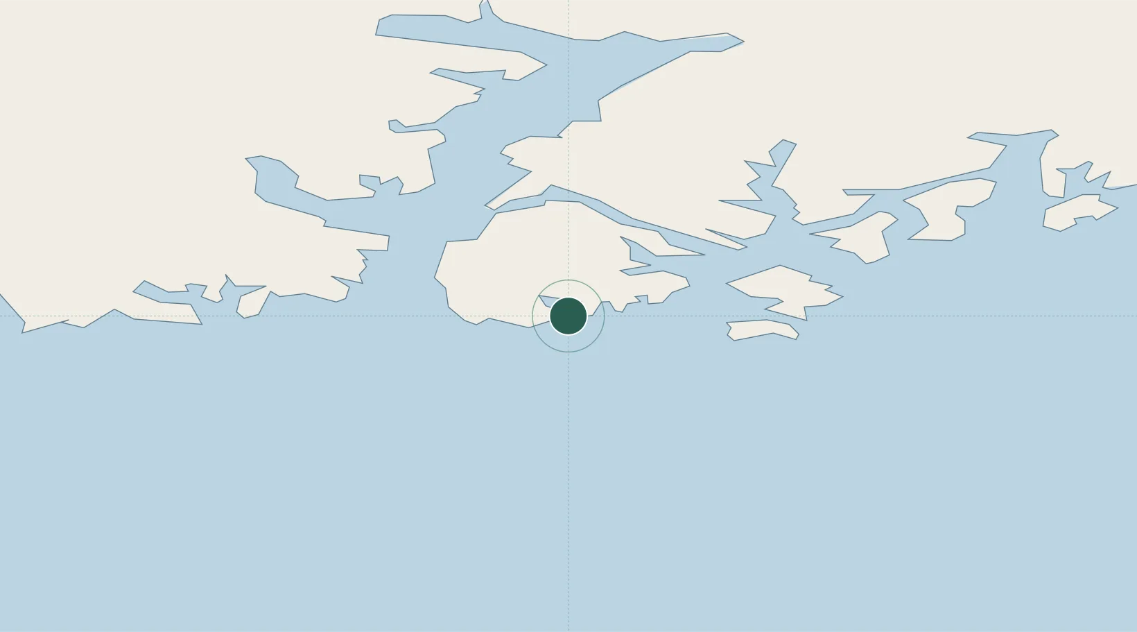
Location
Nearby Logistics Neighbours
Cities
- 1Tiniteqilaaq34 km
- 2Kuummiut41 km
- 3Kangerlussuaq Havn613 km
- 4Seqi Olivine Mine650 km
- 5Olafsvík652 km
Ports
- 1Soendre Stroemfjord613 km
- 2Patreksfjordur625 km
- 3Narsarssuaq628 km
- 4Bildudalur642 km
- 5Thingeyri646 km
Airports
- 1Tasiilaq Heliport2 km
- 2Kulusuk Airport24 km
- 3Tiniteqilaaq Heliport33 km
- 4Kuummiut Heliport41 km
- 5Isortoq Heliport62 km
Trade Zones
- 1Crossroads Business Park2098 km
- 2Shannon Free Zone2143 km
- 3Dublin International Financial Services Centre2197 km
- 4Cape Breton Regional Municipality Foreign Trade Zone2565 km
- 5Halifax Gateway2810 km
DatabookThe Record of Consolidated Knowledge
Greenland beyond logistics?