Foreign Trade Zone · Canada
Crossroads Business Park Active
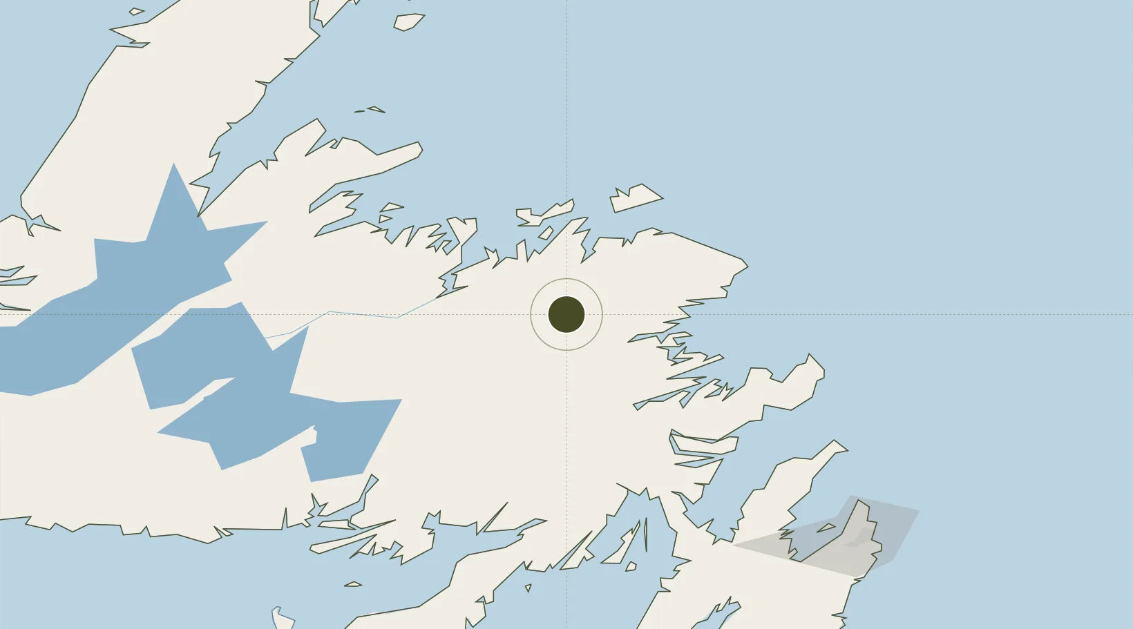
48.9466°, -54.5759°
64 ha
Zone area
48.3 km
Nearest port
1.3 km
Nearest airport
Gateway access
Zone profile
Zone type
Foreign Trade Zone
Region
Newfoundland and Labrador
Status
Active
Management
Public
Operator
Gander International Airport Authority
Legal framework
Foreign Trade Zone Act of 1934
Location
Nearby Logistics Neighbours
Ports
- 1Lewisporte48 km
- 2Carmanville55 km
- 3Botwood59 km
- 4Twillingate79 km
- 5Clarenville97 km
Airports
- 1Gander International Airport1 km
- 2Fogo Airport83 km
- 3St. John's International Airport200 km
- 4Deer Lake Airport208 km
- 5Miquelon Airport246 km
Cities
- 1Gander2 km
- 2Lewisporte48 km
- 3Comfort Cove48 km
- 4Centreville50 km
- 5Carmanville52 km
Trade Zones
- 1Cape Breton Regional Municipality Foreign Trade Zone557 km
- 2Halifax Gateway835 km
- 3Saint John960 km
- 4FTZ No. 179 Madawaska1037 km
- 5FTZ No. 058 Bangor1174 km
DatabookThe Record of Consolidated Knowledge
Canada beyond logistics?