Runway & Layout

Airport Specifications
IATA code
AGM
ICAO code
BGAM
Airport class
Heliport
Scheduled service
Yes
Served city
Tasiilaq
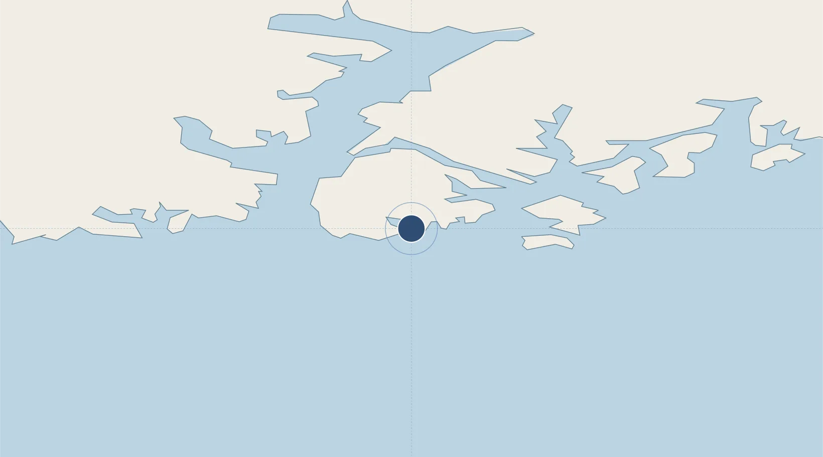
Location
Nearby Logistics Neighbours
Airports
- 1Kulusuk Airport23 km
- 2Tiniteqilaaq Heliport32 km
- 3Kuummiut Heliport40 km
- 4Isortoq Heliport63 km
- 5Sermiligaaq Heliport65 km
Cities
- 1Tasiilaq2 km
- 2Tiniteqilaaq33 km
- 3Kuummiut39 km
- 4Kangerlussuaq Havn613 km
- 5Olafsvík651 km
Ports
- 1Ammassalik1 km
- 2Soendre Stroemfjord613 km
- 3Patreksfjordur624 km
- 4Narsarssuaq630 km
- 5Bildudalur642 km
Trade Zones
- 1Crossroads Business Park2099 km
- 2Shannon Free Zone2143 km
- 3Dublin International Financial Services Centre2197 km
- 4Cape Breton Regional Municipality Foreign Trade Zone2566 km
- 5Halifax Gateway2812 km
DatabookThe Record of Consolidated Knowledge
Greenland beyond logistics?