Runway & Layout

Airport Specifications
IATA code
TQI
ICAO code
BGTN
Airport class
Heliport
Scheduled service
Yes
Served city
Tiniteqilaaq
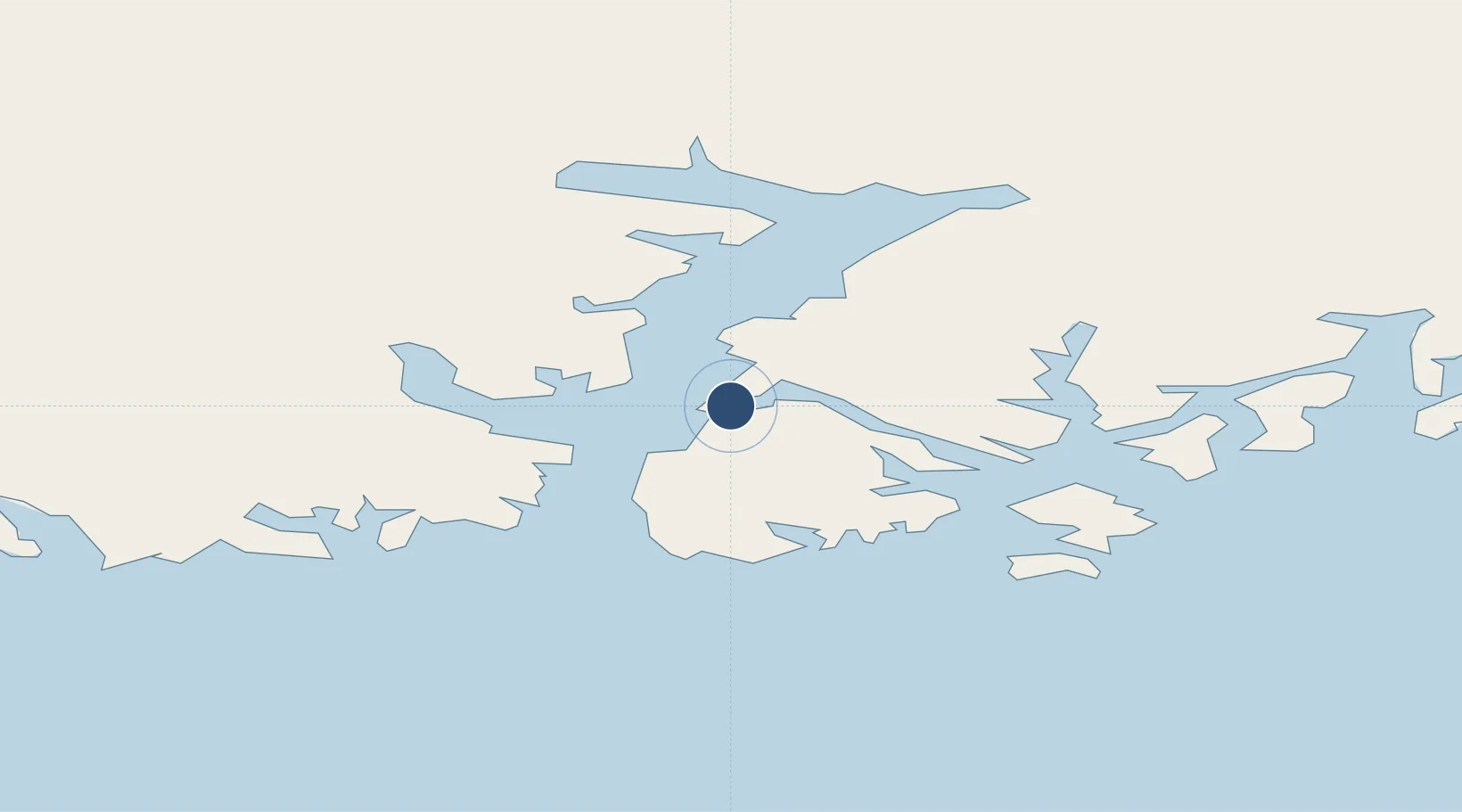
Location
Nearby Logistics Neighbours
Airports
- 1Tasiilaq Heliport32 km
- 2Kuummiut Heliport36 km
- 3Kulusuk Airport47 km
- 4Sermiligaaq Heliport64 km
- 5Isortoq Heliport67 km
Cities
- 1Tiniteqilaaq2 km
- 2Tasiilaq33 km
- 3Kuummiut35 km
- 4Kangerlussuaq Havn596 km
- 5Seqi Olivine Mine644 km
Ports
- 1Ammassalik32 km
- 2Soendre Stroemfjord596 km
- 3Patreksfjordur629 km
- 4Bildudalur646 km
- 5Thingeyri648 km
Trade Zones
- 1Crossroads Business Park2120 km
- 2Shannon Free Zone2165 km
- 3Dublin International Financial Services Centre2216 km
- 4Cape Breton Regional Municipality Foreign Trade Zone2584 km
- 5Halifax Gateway2828 km
DatabookThe Record of Consolidated Knowledge
Greenland beyond logistics?