Diversified Zone · China

Sulige Economic Development Zone Active
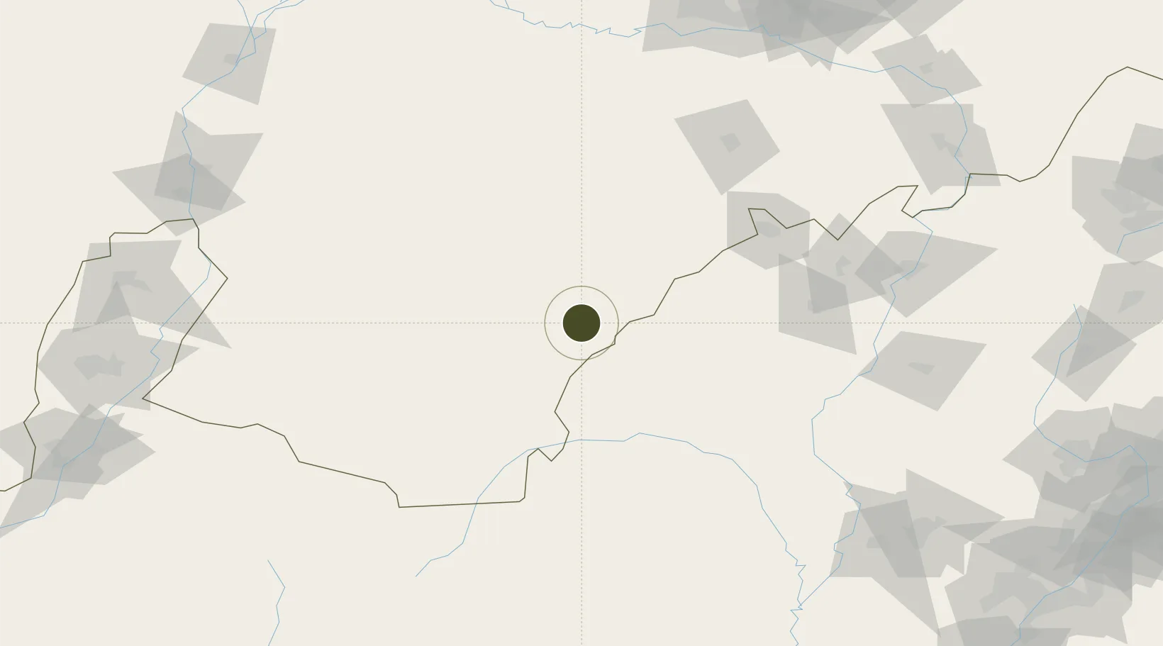
38.7461°, 109.1133°
1,424 ha
Zone area
755.2 km
Nearest port
59.8 km
Nearest airport

Gateway access

Nearest neighbours — logibook spatial index (haversine) over the source coordinates

Zone profile

Zone type
Diversified Zone
Open Zone Map
Region
Inner Mongol
Open Zone Map
Status
Active
Open Zone Map
Management
Public
Open Zone Map
Operator
Management Committee of Sulige Economic Development Zone
Open Zone Map
Legal framework
Founded in 2001
Open Zone Map

Location

Location of ozm-759
Natural Earth 10m (public domain) · Inner Mongol · ozm-759 · 38.75, 109.11GoogleOSMYandex

Nearby Logistics Neighbours

Ports
  1. 1Tianjin Xin Gang755 km
  2. 2Tangshan (Jingtang)857 km
  3. 3Qinhuangdao912 km
  4. 4Longkou Gang983 km
  5. 5Lanshan998 km
Nearest neighbours — logibook spatial index (haversine) over the source coordinates
Airports
  1. 1Yulin Yuyang Airport60 km
  2. 2Ordos Ejin Horo International Airport105 km
  3. 3Lüliang Dawu Airport213 km
  4. 4Baotou Donghe International Airport215 km
  5. 5Wuhai Airport231 km
Nearest neighbours — logibook spatial index (haversine) over the source coordinates
Cities
  1. 1Baotou222 km
  2. 2Yinchuan250 km
  3. 3Bayannur267 km
  4. 4Hohhot317 km
  5. 5Jinzhong338 km
Nearest neighbours — logibook spatial index (haversine) over the source coordinates
Trade Zones
  1. 1Yulin Economic Development Zone82 km
  2. 2Tara Industrial Park152 km
  3. 3Zhungeer Economic Development Zone183 km
  4. 4Dalad Economic Development Zone192 km
  5. 5Etuoke Economic Development Zone196 km
Nearest neighbours — logibook spatial index (haversine) over the source coordinates
DatabookThe Record of Consolidated Knowledge
China beyond logistics?
Browse databook

All Sources

Trade ZonesOpen Zone Map
CC BY
Portsthe NGA World Port Index
Public domain (US gov)
AirportsOurAirports
Public domain
LocationsUN/LOCODE
UN/LOCODE — free
← China trade zones