Transport Functions
Rail
Road
Airport
Postal
Hub Profile
Place type
Regional capital
Region
Inner Mongolia
Population
2,350,000
Time zone
Asia/Shanghai
Elevation
1,051 m
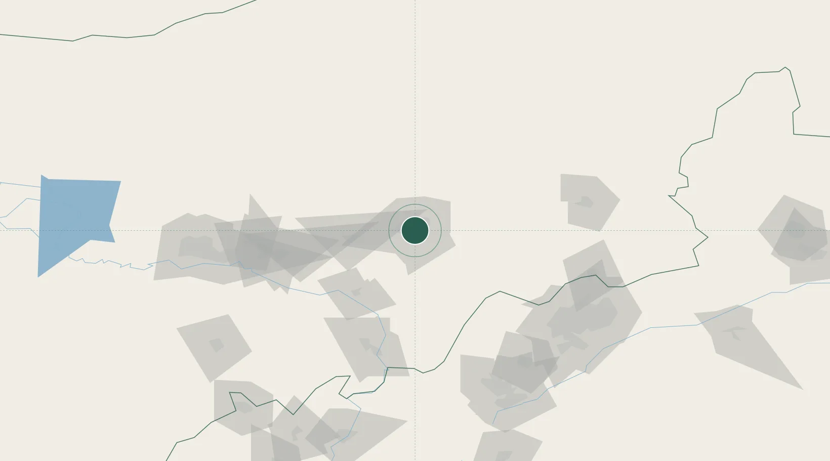
Location
Nearby Logistics Neighbours
Cities
- 1Baotou143 km
- 2Datong156 km
- 3Bayan Obo179 km
- 4Zhangjiakou268 km
- 5Erlianhaote316 km
Ports
- 1Tianjin Xin Gang563 km
- 2Tangshan (Jingtang)649 km
- 3Qinhuangdao679 km
- 4Huludao Gang783 km
- 5Jinzhou Wan793 km
Airports
- 1Hohhot Baita International Airport13 km
- 2Hohhot Bikeqi Air Base39 km
- 3Ulanqab Jining Airport125 km
- 4Baotou Donghe International Airport145 km
- 5Huairen Air Base173 km
DatabookThe Record of Consolidated Knowledge
China beyond logistics?