Channel & Berth Profile
Pilotage, Tugs & Services
Pilotage compulsoryYES
Pilotage availableYES
Tug assistanceYES
Potable waterYES
Diesel bunkersNO
Facilities & Capabilities
Container—
Ro-Ro—
Liquid bulk—
Dry bulk—
Oil terminal—
Break bulk—
Dry dock—
Repairs—
BunkeringNO
Rail link—
Dangerous cargo—
ISPS security—
Harbour Specifications
Harbour size
Very Small
Harbour type
Open Roadstead
Shelter
Fair
Water body
Yellow Sea; North Pacific Ocean
Tidal range
3 m
Overhead limit
Yes
Pilotage
Yes
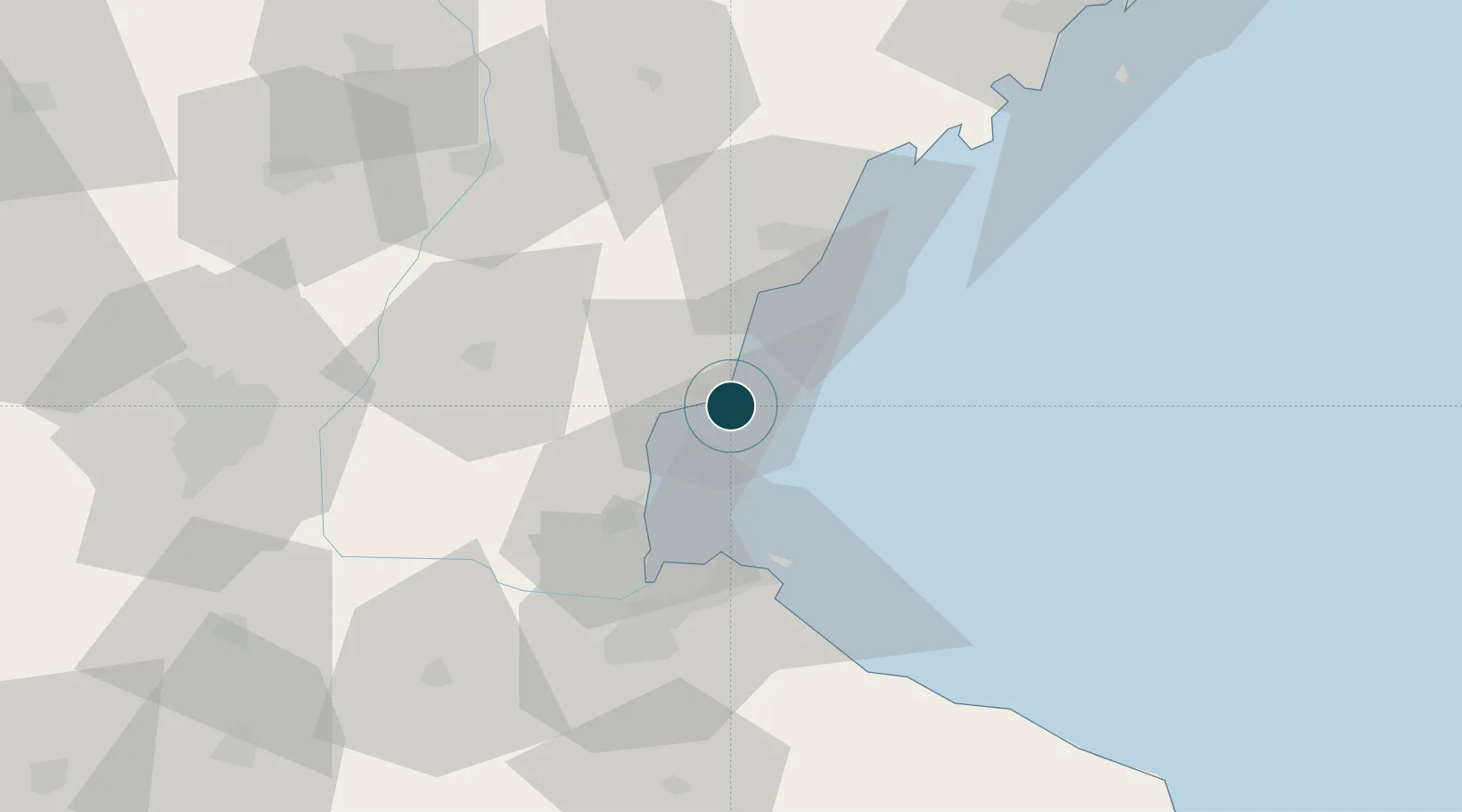
Location
Nearby Logistics Neighbours
Ports
- 1Rizhao38 km
- 2Lianyungang39 km
- 3Qingdao Gang134 km
- 4Longkou Gang296 km
- 5Yangzhou313 km
Cities
- 1Rizhao29 km
- 2Lianyungang40 km
- 3Dongjiangkou68 km
- 4Dongjiakou68 km
- 5Baimao70 km
Airports
- 1Rizhao Shanzihe Airport36 km
- 2Lianyungang Huaguoshan International Airport76 km
- 3Linyi Qiyang Airport87 km
- 4Zhucheng Air Base106 km
- 5Huai'an Lianshui Airport145 km
DatabookThe Record of Consolidated Knowledge
China beyond logistics?